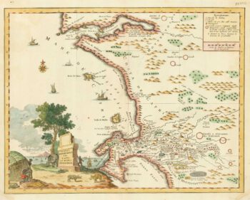
The Cape of Good Hope at the beginning of the 18th century
£180
Out of stock
Add to WishlistRemove from Wishlist
Add to Wishlist
Three maps on one sheet: a prospect of Table mountain, a map of Table Bay and a plan of the defences of the Dutch fort at the cape. Published in thethe 'Atlas Curieux'.
Additional information
| Cartographer | |
|---|---|
| Date | 1705 |
| Extra Info | Cap de Bonne Esperance. |
| Publication | Paris, 1705. 260 x 360mm. |
| Condition | A good example. |
| References | – |
Related Items
Related products
-

One of the earliest maps to depict the Cape of Good Hope
£400DE BRY, Theodore.
Published In 1612
Stock No. 22976 -

18th century Italian map of the Cape of Good Hope
£390ALBRIZZI, Giovanni Battista.
Published In 1740
Stock No. 19893 -

An 18th century map of Africa below the Equator
£380CHATELAIN, Henri Abraham.
Published In 1720
Stock No. 22880 -

Mid-19th century map of eastern South Africa
£130TALLIS, John.
Published In 1851
Stock No. 18539