A classic 16th century map of South America
£8,000
In stock
A highly decorative map of South America, engraved by Arnold Florent van Langeren for Linschoten's 'Itinerario', a manual for sailing to the East Indies. Orientated with north to the right, the West Indies and Florida are shown in some detail on the right; on the left Terra del Fuego, the landmass south of the Straits of Magellan, spreads out to fill the entire height of the map.
The map displays all the features that made this period the golden age of decorative cartography: the titles, in Latin and Dutch, are within strapwork cartouches, as is the scale; in the sea are a finely-engraved compass rose, sea-monsters and galleons. In the interior are vignettes of natives and animals based on de Bry.
Additional information
| Dimensions | 530 × 395 mm |
|---|---|
| Cartographer | |
| Date | 1596 |
| Extra Info | Delineatio omnium orarum totius Australis partis Americae… |
| Publication | Amsterdam, c.1596. Coloured. 395 x 530mm. |
| Condition | A good example. |
| References | – |
Related Items
Related products
-

Extremely rare Russian edition of Bonne’s map of South America
£650BONNE, Rigobert.
Published In 1793
Stock No. 20510 -

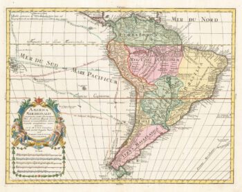
18th century map of South America
£550LOTTER, Tobias Conrad.
Published In 1760
Stock No. 22198 -

A 16th century miniature map of South America
£350LANGENES, Barent.
Published In 1599
Stock No. 21253 -

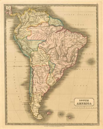
Mid-19th century map of South America
£130GELLATLY, John.
Published In 1843
Stock No. 19948