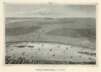
A map of Philadelphia as the capital of the Revolution
£3,400
In stock
A German edition of the Scull and Heap map of the environs of Philadelphia, as published by Faden in 1777, retaining the English title and texts. It shows the Delaware River from Hog Island to Frankford (here 'Frankfort') and inland to Darby and Germantown. Across the River in New Jersey is Gloucester City. Under the map is an elevation of the State House.
The map has been updated for the American Revolution. A particular addition is a dotted line in the Delaware by Mud Island, to the south of Philadelphia, with the note 'Chevaux de Frise which the Americans have laid across to obstuct the Navigation'. Also on Mud island is a 'New Fort': this was built by Captain John Montresor in 1771 and renamed Fort Mifflin in 1794. When the British took Philadelphia in 1777 they subjected the fort to a fierce bombardment, forcing the American troops out in November, 1777.
Additional information
| Dimensions | 475 × 600 mm |
|---|---|
| Cartographer | |
| Date | 1777 |
| Extra Info | A Plan of the City and Environs of Philadelphia. Engraved and Published by Matthew Albert Lotter. |
| Publication | Augsburg: Lotter, 1777. Original colour. 600 x 475mm. |
| Condition | A good example. |
| References | – |