

17th century map of Sumatra marking Singapore
£850
In stock
A chart of Sumatra and the tip of the Malay Peninsula, orientated with north to the left. Published in Jansson's sea-atlas it was first issued 1657, a decade after the Dutch seized Malacca from the Portuguese. The map also marks the Aceh sultanate on the northern tip of Sumatra: during the 1650s the Dutch encouraged revolts against Aceh rule in order to gain control of tin deposits in the area.
Additional information
| Dimensions | 520 × 425 mm |
|---|---|
| Cartographer | |
| Date | 1657 |
| Extra Info | Sumatrae et Insularum Locorumque nonnullorum Circumiacentium Tabula Nova. |
| Publication | Amsterdam, c.1657. Original colour. 425 x 520mm. |
| Condition | A good example. |
| References | SUAREZ: p.207. |
Related Items
Related products
-
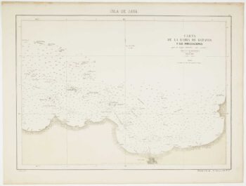
Sea chart of the Bay of Jakarta
£450RIUDAVETS, José Maria.
Published In 1862
Stock No. 12466 -

Map of Sumatra and the Malay Peninsula
£425AA, Pieter van der.
Published In 1714
Stock No. 23647 -

Sea chart of the Karimata Strait
£350HORTIGOSA, P.
Published In 1866
Stock No. 12471 -
18th century view of the Dutch city of Batavia
£160SALMON, Thomas.
Published In 1753
Stock No. 23642