A Japanese woodblock wall map of Edo
£4,500
In stock
A large detailed cadastral old map of Edo [Tokyo], showing landowners, main temples and shrines and other points of interest depicted pictorially in relief. During the end of the Edo Period, Rangaku, or "Dutch Learning," dominated Japanese art and science. This map exemplifies the union of Japanese traditional printmaking and Dutch cartography. The latter half of the Edo Period is known as the Bakumatsu Era, when traditional feudal authorities resisted the increasing western influence, creating a tense social division. It represents the historical, social and political characteristics of the Bakumatsu era. At the center of Edo, present-day Tokyo, marks the head of state and the Japanese legal authority. Within the central living quarters, there is a Western circle called nishinomaru. The royal living quarters are surrounded by a group of mansions, called the daimyo-koji, or ''warlord ally''.
Additional information
| Dimensions | 1330 × 1210 mm |
|---|---|
| Cartographer | |
| Date | 1859 |
| Extra Info | O-Edo ezu. |
| Publication | Edo: Go-shomotsushi Izumoji Manjir : Okadaya Kashichi, 1859. Coloured woodblock. Sheet 1210 x 1330mm. |
| Condition | A good example. |
| References | – |
Related Items
Related products
-

An early 18th century map of Japan
£1,200CHATELAIN, Henri Abraham.
Published In 1719
Stock No. 17371 -

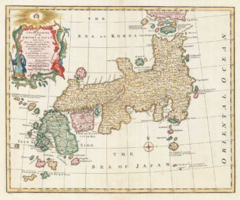
18th century English map of Japan
£900BOWEN, Emanuel.
Published In 1747
Stock No. 17975 -

Early prospect of Tokyo
£750MONTANUS, Arnoldus.
Published In 1720
Stock No. 21807 -

An 18th century Italian map of Japan
£450ZATTA, Antonio.
Published In 1785
Stock No. 17390