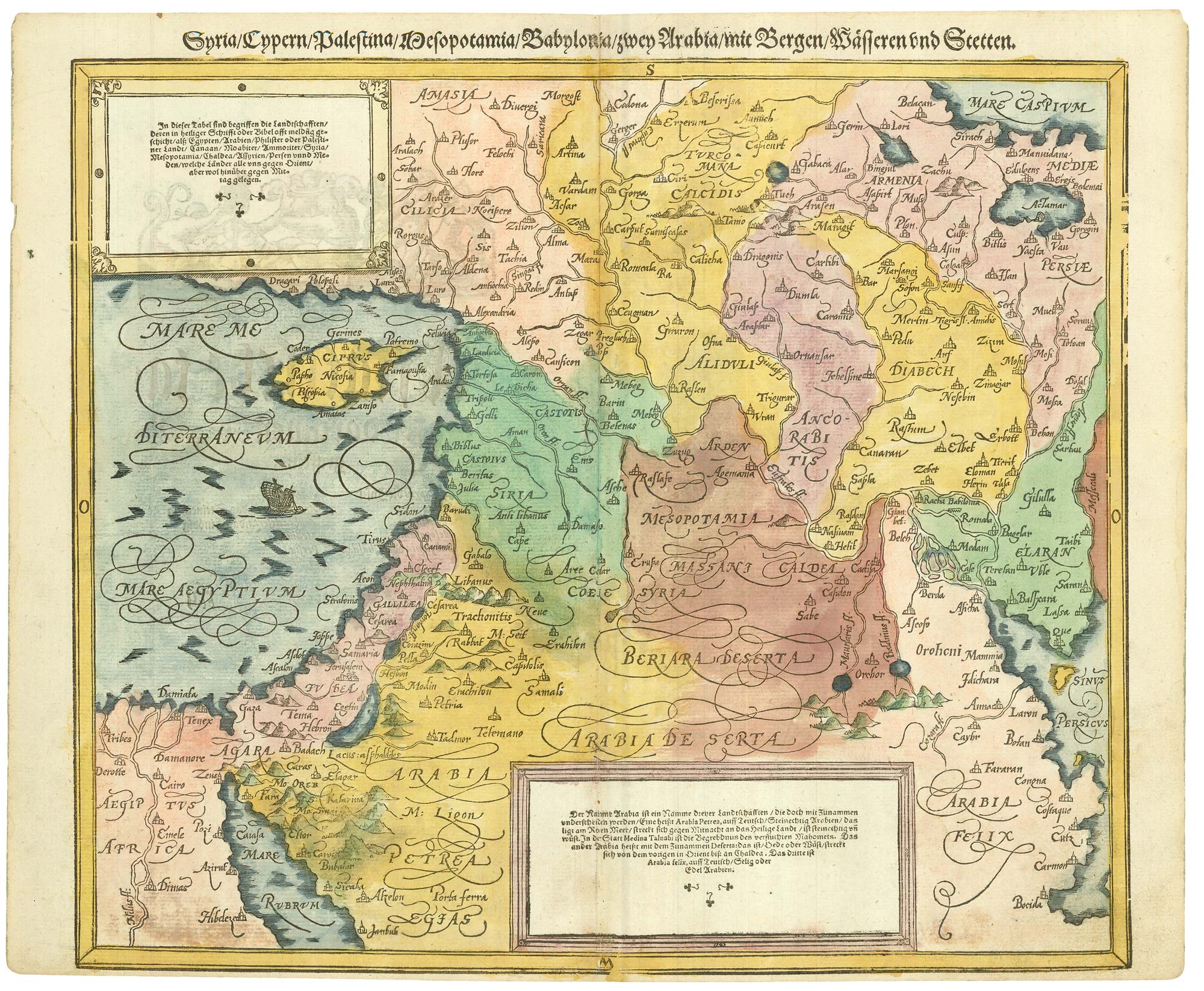
A woodcut map of the Middle East, showing from Cyprus and the Nile delta to Iraq and the southern part of the Caspian Sea, with Syria and the Holy Land.
Contemporary colouring is extremely rare for Munster's publications.
Additional information
| Dimensions | 400 × 330 mm |
|---|---|
| Cartographer | |
| Date | 1550 |
| Extra Info | Syria/Cypern/Palestina/Mesopotamia/Babylonia/zwey Arabia/mit Bergen/W?ssern und Stetten. |
| Publication | Basle, Henri Petri, c.1550. Contemporary colour. Woodcut, sheet 330 x 400mm. |
| Condition | Narrow bottom margin. |
| References | See LAOR: 525 for variant. |


