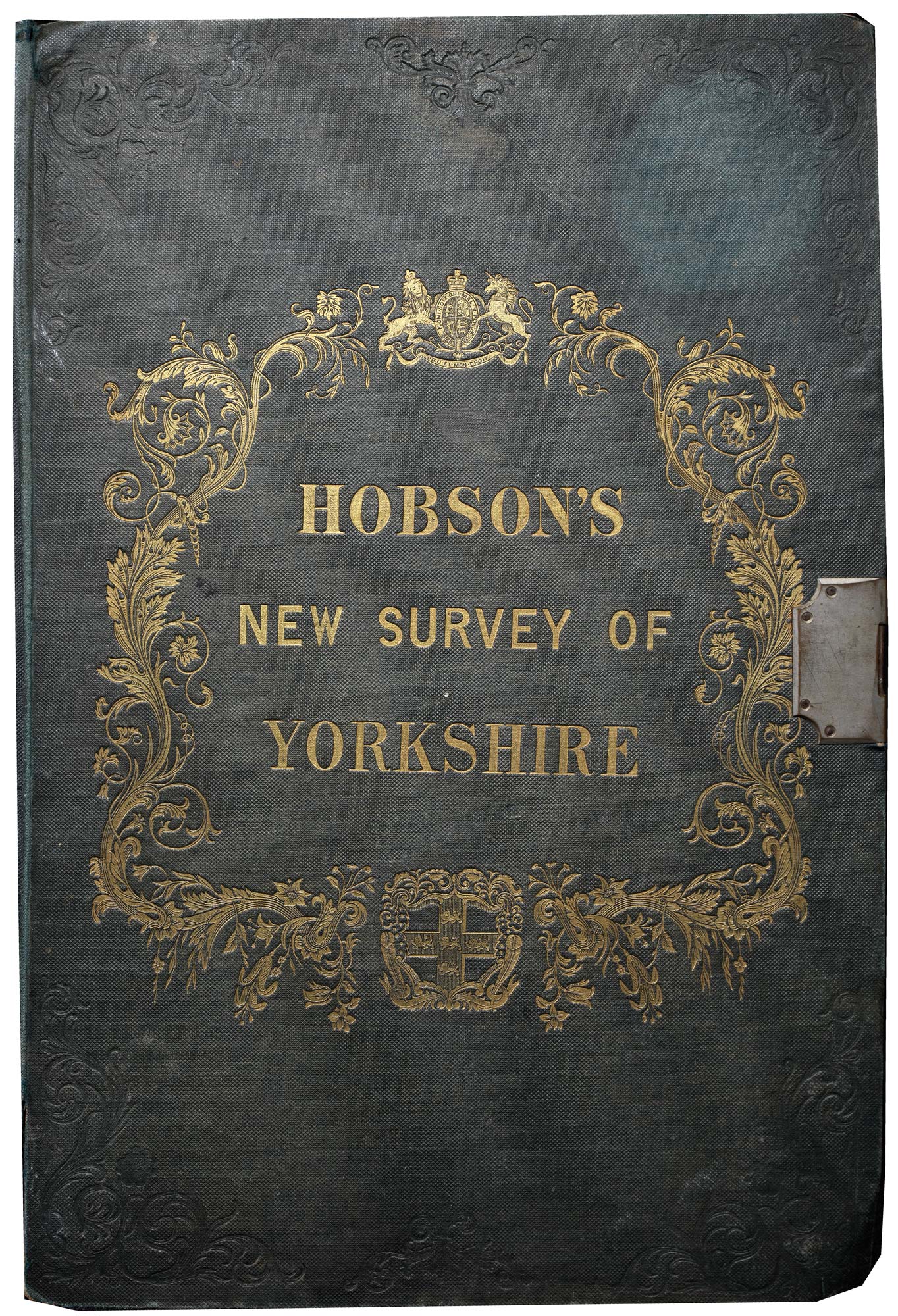
A large-scale map of Yorkshire in full colour, with an impressive amount of detail, including roads, railways, water mills and windmills, and the borders of Ridings, Wapentakes, the Honour of Pontefract, the Manor of Wakefield, Boroughs and Poor Law Unions.
Additional information
| Dimensions | 1620 × 1280 mm |
|---|---|
| Cartographer | |
| Date | 1873 |
| Extra Info | This Map of Yorkshire, is most respectfully dedicated to the Nobility, Clergy, Gentry, Landownsers, and Manufacturers of the County, By the Proprietor, William Colling Hobson, 1843. |
| Condition | A good example. |
| References | – |


