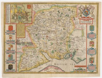
A Georgian sea chart of Spithead
£650
Out of stock
Add to WishlistRemove from Wishlist
Add to Wishlist
A detailed chart of Spithead, the roadstead for Portsmouth, often used by the Royal Navy. It also shows Portsea, Fareham, Porchester, Gosport, Havant and Hayling Island, and, on the other side of the Solent, Ryde, St Helens, Brading and Sandown on the Isle of Wight.
Engraved by Benjamin Baker, it shows the region at a time when Britain feared invasion from France, during the War of the Second Coalition (1799-1802).
Additional information
| Dimensions | 615 × 760 mm |
|---|---|
| Cartographer | |
| Date | 1801 |
| Extra Info | |
| Publication | London: Robert Laurie & James Whittle, 1801. 760 x 615mm. |
| Condition | A good example. |
| References | – |


