A large scale map of Nottinghamshire in fine colour
£1,800
In stock
A superbly detailed map of Nottinghamshire, engraved by J. & C. Walker on a scale of 1" to a mile, marking hundreds, parishes, towns, villages, turnpike roads, toll-bars, cross-roads, churches, castles, chapels, heaths, commons, canals, railways and 'fox coverts'. Bottom right is is a finely-engraved view of Welbeck Abbey drawn by John Sanderson.
George Sanderson (1798-1851) was an engineering surveyor based Mansfield, Nottinghamshire. After the Poor Law Amendment Act of 1834, which introduced workhouses for England's poor, he surveyed five counties (this Nottinghamshire, Derbyshire, Leicestershire, Lincolnshire and Yorkshire) to aid the administration of the Poor Laws. In 1837, the year after the publication of this map, he became 'Auditor of the Mansfield Poor Law Union'. In 1843 this map was republished as the 'Parish and Poor Law Union map of the county of Nottingham'.
Additional information
| Dimensions | 1075 × 1410 mm |
|---|---|
| Cartographer | |
| Date | 1836 |
| Extra Info | |
| Publication | London, 1836. Fine original colour. Dissected and laid on linen, as issued, total 1410 x 1075mm, folded into the original morocco gilt case. |
| Condition | A good example. |
| References | – |
Related Items
Related products
-

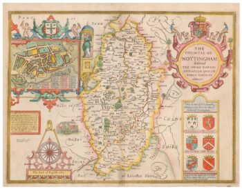
A 17th century map of Nottinghamshire
£500SPEED, John.
Published In 1676
Stock No. 24035 -

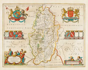
Map of Nottinghamshire published during the English Civil War
£500BLAEU, Johannes.
Published In 1648
Stock No. 14532 -

A scarce playing-card map of Nottinghamshire
£400ALLEN, Joseph.
Published In 1811
Stock No. 18713 -

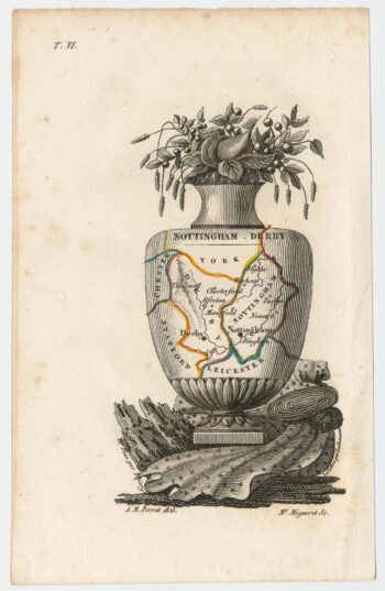
Miniature map of Nottinghamshire and Derbyshire
£65PERROT, Aristide Michel.
Published In 1828
Stock No. 23301