The Web edition of Saxton’s map of Wiltshire
£3,400
Out of stock
Add to WishlistRemove from Wishlist
Add to Wishlist
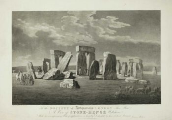
An example of William Web's rare re-issue of the Saxton map of Wiltshire, the first printed map of the county, engraved in 1577. Web has made only two significant changes: the date has been updated, and the Royal Crest is that of Charles I rather than Elizabeth I (with a unicorn instead of a Welsh Dragon), although the engraver has left behind the Queen's initials, 'E R'.
Additional information
| Cartographer | |
|---|---|
| Date | 1645 |
| Extra Info | Wiltoniae Comitatus herbida Planitie nobilis hic ob oculos proponitur. Anno Dñi 1642. |
| Publication | London: William Web, 1645. 425 x 470mm. |
| Condition | Narrow margins top and bottom due to the height of the map. |
| References | SKELTON: 27. |