A 'map-view' of the city of Messina from the Italian mainland, with Reggio di Calabria on the left., after the plan by Caspero Argaria, published by Antonio Lafreri in 1567. This version was engraved by Franz Hogenberg and published in the 'Civitates Orbis Terrarum', the first systematic atlas of printed town plans.
Additional information
| Cartographer | |
|---|---|
| Date | 1572 |
| Extra Info | Messina, Urbs est Sicilie maxima… |
| Publication | Cologne, 1572-, Latin text edition. Original colour. 340 x 485mm. |
| Condition | Small areas reinforced with archivist's tissue. |
| References | KOEMAN: B&H 1. |
Related Items
Related products
-

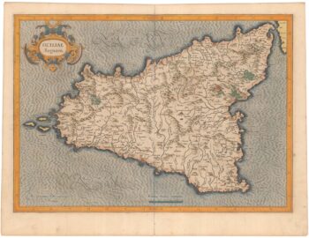
Mercator’s first issue folio map of Sicily in original colour
£1,400MERCATOR, Gerard.
Published In 1628
Stock No. 23392 -

17th century Italian map of Sicily
£1,250CANTELLI DA VIGNOLA, Giacomo.
Published In 1682
Stock No. 23653 -

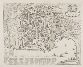
Town plan of Palermo
£550BLAEU, Johannes.
Published In 1705
Stock No. 14146 -

A map of Sicily illustrating Ancient History
£500RALEIGH, Walter.
Published In 1620
Stock No. 23097