Chart of Marsa Scirocco, Malta
£490
Out of stock
A detailed chart of Marsa Scirocco, with an inset of St Lucian's Tower.
In 1815, at the end of the Napoleonic War, Lieut. Smyth was posted to Sicily, which he used as a base to survey the coasts of Italy and Africa, with the islands in between. 32 charts and views were published by the Admiralty, which remained the core hydrography of the central Mediterranean until the end of the century. He published his own account, 'Memoir descriptive of the resources, inhabitants, and hydrography of Sicily and its islands...', in 1824. His final naval rank was admiral.
Additional information
| Dimensions | 470 × 630 mm |
|---|---|
| Cartographer | |
| Date | 1855 |
| Extra Info | Plan of Marsa Scirocco, In the Island of Malta… |
| Publication | London, Hydrographical Office of the Admiralty, 1823 [-1850]. 630 x 470mm. |
| Condition | A good example. |
| References | – |
Related Items
Related products
-

17th century map of Malta
£1,600DE WIT, Frederick.
Published In 1680
Stock No. 19494 -

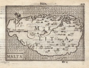
A 16th century miniature map of Malta
£400LANGENES, Barent.
Published In 1599
Stock No. 21326 -

Uncommon miniature map of Malta
£385MULLER, Johann Ulrich.
Published In 1692
Stock No. 15660 -

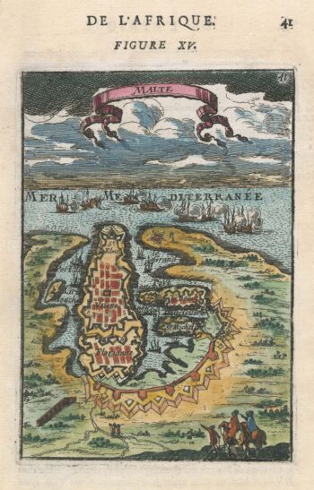
A 17th century miniature plan of Valletta
£220MALLET, Alain Manesson.
Published In 1683
Stock No. 22329