

Detailed map of Malta on a scale of two inches to a mile, with a key detailing roads, railways, churches, police stations, aquaducts and other water supplies. At the time the island was the Royal Navy's base in the Mediterranean.
Additional information
| Dimensions | 750 × 840 mm |
|---|---|
| Cartographer | |
| Date | 1910 |
| Extra Info | Map of the Island of Malta Prepared in the Royal Engineers Office, Malta. |
| Publication | London: War Office, 1910. Original colour. Dissected and laid on linen, total 840 x 750mm. |
| Condition | A good example. |
| References | – |
Related Items
Related products
-

18th century map celebrating the Knights of Malta
£1,850SEUTTER, Matthaus.
Published In 1730
Stock No. 16116 -

18th century Bird’s-eye view map of Malta
£650PUTTER, Abraham de.
Published In 1729
Stock No. 21022 -

Early plan of Valletta
£325BRAUN, Georg & HOGENBERG, Frans.
Published In 1600
Stock No. 17847 -
Early map of the island of Malta
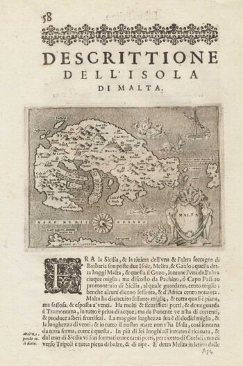
£275PORCACCHI, Tomaso.
Published In 1590
Stock No. 15506