A rare Italian separate-issue map of France
£6,500
In stock
A very fine example of an important two-sheet 'Lafreri-type' map of France. The map extends west to east from west Brittany to the Adriatic sea and north to south from London to Rome; major towns, rivers, lakes, and mountains are marked and named. In the sea there are numerous ships and sea monsters. An ornate strapwork cartouche to the upper right contains a dedication to Marco Antonio Radici, and a brief description of France.
Additional information
| Dimensions | 625 × 455 mm |
|---|---|
| Cartographer | |
| Date | 1566 |
| Extra Info | Galliae exactissima Descriptio. |
| Publication | Venice: Bolognino Zaltieri, 1566. Two sheets conjoined, total 455 x 625mm. |
| Condition | A good example. |
| References | – |
Related Items
Related products
-

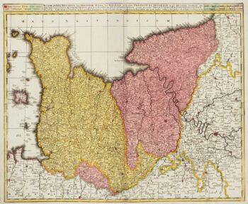
Early 18th century map of Normandy in fine colour
£250VALK, Gerard & Leonard.
Published In 1700
Stock No. 15399 -

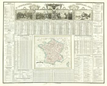
A French almanac for 1834 with vignettes of Napoleon Bonaparte
£220Anonymous.
Published In 1834
Stock No. 20604 -

A 16th century miniature map of southern Picardy
£50LANGENES, Barent.
Published In 1599
Stock No. 21147 -

A 16th century miniature map of Lorraine
£50LANGENES, Barent.
Published In 1599
Stock No. 21149