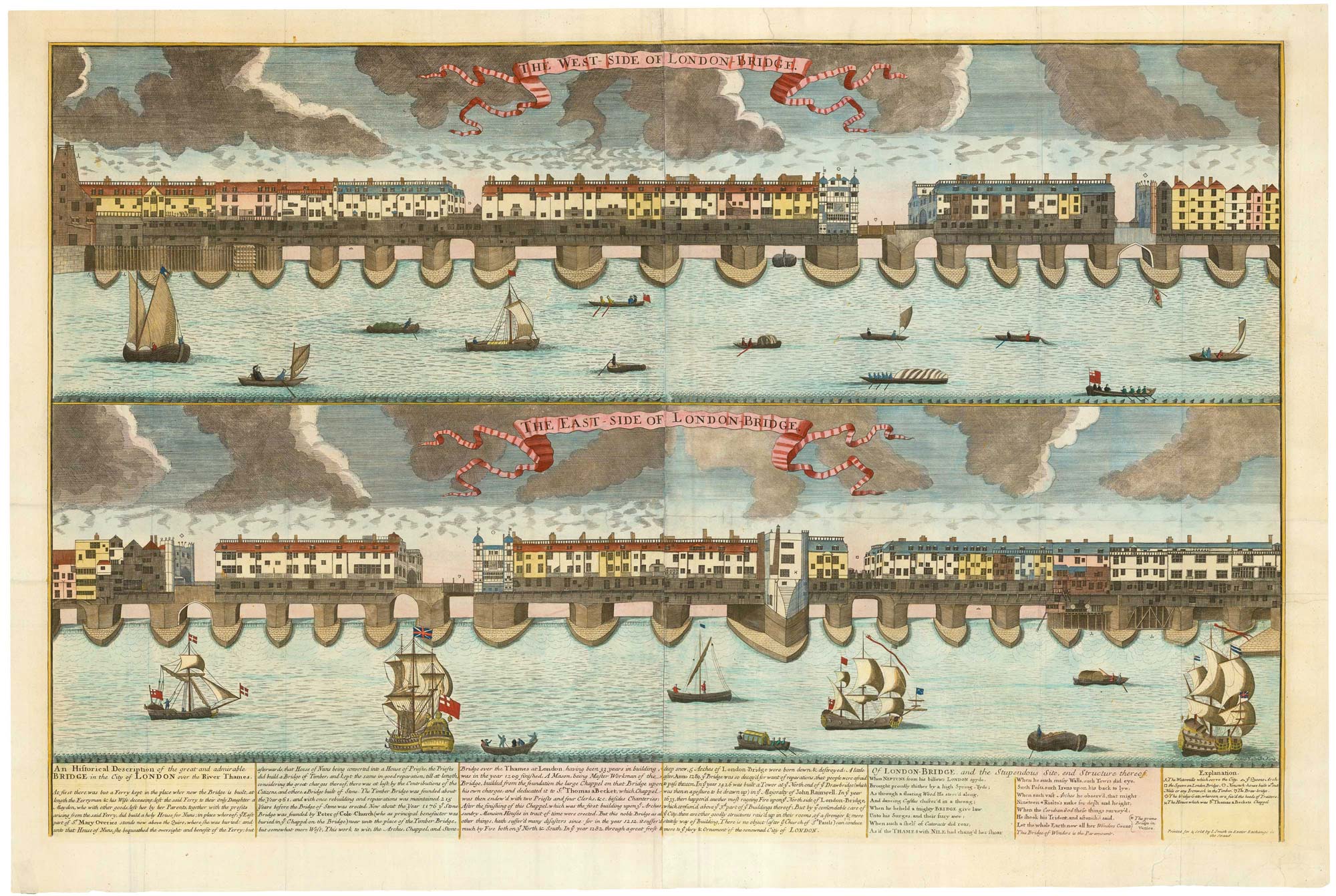
Elevations of either side of London Bridge at the beginning of the 18th century, filled with buildings, the longest inhabited bridge ever built in Europe. The west view illustrates the ferries and river craft upstream of the bridge, including one seeming about to 'shoot the bridge', braving the rapids caused by the piers; the east view shows the ocean-going vessels that could not pass the bridge.
Underneath is a text, 'An Historical Description of the great and admirable Bridge in the City of London over the River Thames', taken from John Stow's 'Survey of London', and a poem, 'Of London-Bridge, and the Stupendous Site, and Structure thereof', originally in the preface of James Howell's 'Londinopolis'.
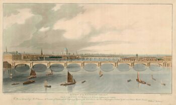
The buildings shown here were all rebuilt between 1683 and 1696, when it was specified there had to be a roadway 20 feet wide. They were destroyed by fire in 1725, rebuilt, and finally cleared following the 1756 Act of Parliament. John Rennie's new bridge was built slightly upstream in 1831, after which the old bridge was demolished.
Nicholls, the engraver, worked for a number of map publishers. He engraved some of the Morden county maps and updated the Saxton plates for Philip Lea.
Additional information
| Dimensions | 880 × 570 mm |
|---|---|
| Cartographer | |
| Date | 1705 |
| Extra Info | The West-Side of London-Bridge. The East-Side of London-Bridge. |
| Publication | London: John Smith, c.1705. Coloured. Two sheets conjoined, total 570 x 880mm. |
| Condition | A good example. |
| References | – |


