- Reset all
- Abruzzo
- Adriatic Sea
- Argentina
- Austria
- Balearics
- Black Sea
- Books about Maps
- British Isles
- Burma
- Calabria
- Campania
- Central America
- China
- Constantinople
- Cornwall
- Europe
- Gibraltar
- Greece
- Hispaniola
- Hungary
- Iberia
- Italy
- Latvia and Estonia
- London Environs
- Maritime
- Monaco
- Moon
- Munster
- Near East
- North Africa Maps
- North America
- Pacific and Australasia
- Panama
- Paris
- Prospects
- Provence
- Russia
- Scandinavia
- Scientific Instruments
- Shropshire
- Somerset
- Southern Italy
- Spain
- St Helena
- St Kitts
- Syria
- Trentino
- Turkey
- Virgin Islands
- Warwickshire
- Worcestershire
- Zodiac
Showing 1633–1639 of 1639 results
-

17th century map of the North Riding of Yorkshire in fine colour
£650BLAEU, Johannes.
Published In 1662
Stock No. 23040 -
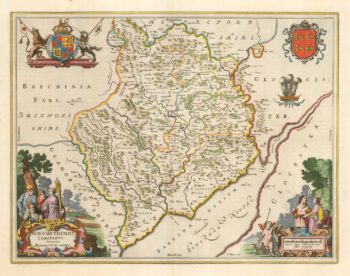
Blaeu’s map of Monmouthshire, with fine colour
£500BLAEU, Johannes.
Published In 1662
Stock No. 23039 -

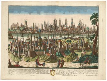
An 18th century prospect of Constantinople
£1,250PROBST, Georg Matthaus.
Published In 1780
Stock No. 23037 -

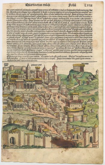
An incunable prospect of Genoa in rare contemporary colour
£950SCHEDEL, D. Hartmann.
Published In 1493
Stock No. 23035 -

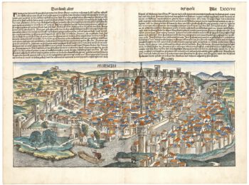
An incunable view of Florence
£1,800SCHEDEL, D. Hartmann.
Published In 1493
Stock No. 22848 -

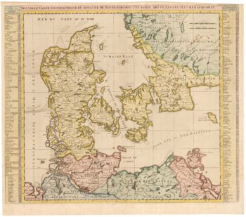
An early 18th century map of Denmark
£320CHATELAIN, Henri Abraham.
Published In 1719
Stock No. 22887 -

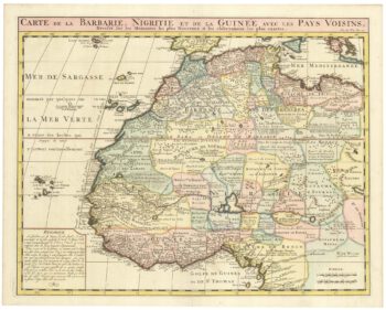
An 18th century map of Northwest Africa
£340CHATELAIN, Henri Abraham.
Published In 1720
Stock No. 22881