- Reset all
- Abruzzo
- Antigua
- Asia Continent
- Atlases
- Atlases and Books
- Australia
- Bahamas
- Balearics
- Black Sea
- Books about Maps
- British Isles
- British Isles Maps
- Calabria
- California
- Campania
- Central Europe
- China
- Constantinople
- Constellations
- Cornwall
- Dorset
- Georgia
- Gibraltar
- Globes and Instruments
- Greece
- Hispaniola
- Hong Kong
- Hungary
- Ionian Islands
- Ischia
- Lombardy
- London Environs
- Maritime
- Monaco
- Moon
- Moscow
- Munster
- Near East
- North Africa Maps
- North America
- Northamptonshire
- Norway
- Panama
- Paris
- Prospects
- Provence
- Scandinavia Maps
- Shropshire
- Somerset
- Southern Italy
- Spain
- St Helena
- Staffordshire
- Syria
- Turkey
- Ukraine
- Vietnam
- Virgin Islands
- Warwickshire
- Worcestershire
- Zodiac
Showing 1033–1044 of 1057 results
-

17th century English map of Lincolnshire
£800SPEED, John.
Published In 1676
Stock No. 9869 -

Chester
£50VALEGIO, Francesco & ROSACCIO, Guiseppe.
Published In 1713
Stock No. 9797 -

18th century prospect of Milan
£3,850WOLFF, Jeremias.
Published In 1725
Stock No. 9758 -

The so-called ‘Anonymous’ map of Surrey
£2,000SMITH, William.
Published In 1665
Stock No. 9177 -

An 18th century chart of Corfu
£95ROUX, Joseph.
Published In 1764
Stock No. 9108 -
The roads from Warrington to Chester and Manchester to Derby
£250OGILBY, John.
Published In 1675
Stock No. 9075 -

Miniature map of Andalusia
£60ORTELIUS, Abraham.
Published In 1598
Stock No. 9054 -

Fine plan of the naval dockyard at Sheerness, Kent
£600MILTON, Thomas.
Published In 1755
Stock No. 8492 -

Blue-back chart of the West Coast of the USA
£950IMRAY, James.
Published In 1870
Stock No. 8360 -

A two-sheet map of Ireland
£1,300JAILLOT, Alexis-Hubert.
Published In 1700
Stock No. 8318 -

Two-sheet map of Austria
£350JAILLOT, Alexis-Hubert.
Published In 1705
Stock No. 8270 -

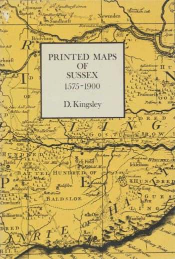
Bibliography of maps of Sussex
£25KINGSLEY, David.
Published In 1982
Stock No. 8084