- Reset all
- Abruzzo
- Azores
- Bering Strait
- Black Sea
- Books about Maps
- Calabria
- Campania
- China
- Elba
- Europe
- Gulf States
- Hispaniola
- Hungary
- Italy
- London Environs
- Maritime
- Mauritius and Reunion
- Miscellany
- Monaco
- North Africa
- North America
- Oxfordshire
- Pacific and Australasia
- Pennsylvania
- Pictorial Maps
- Poland
- Portugal
- Provence
- Scientific Instruments
- Scotland Maps
- Solar System
- Somerset
- Syria
- Worcestershire
- Zodiac
Showing 1297–1308 of 1327 results
-

Map of France celebrating the military successes of Louis XIV
£450LOTTER, Tobias Conrad.
Published In 1750
Stock No. 8717 -

Blue-Back Chart of the Bay of Biscay
£650STEEL & CO.
Published In 1813
Stock No. 9661 -

French Post Roads
£280LOTTER, Tobias Conrad.
Published In 1750
Stock No. 8713 -

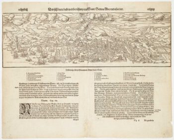
Woodcut prospect of Genoa
£220MUNSTER, Sebastian.
Published In 1590
Stock No. 8633 -

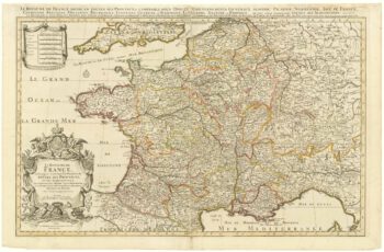
A two-sheet map of France
£700JAILLOT, Alexis-Hubert.
Published In 1705
Stock No. 8440 -

Friesland
£250JANSSON, Jan.
Published In 1666
Stock No. 8433 -

Guyenne
£240JANSSON, Jan.
Published In 1666
Stock No. 8391 -

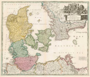
Denmark
£450JAILLOT, Alexis-Hubert.
Published In 1700
Stock No. 8323 -

18th century map of Denmark
£300HOMANN, Johann Baptist.
Published In 1720
Stock No. 8312 -

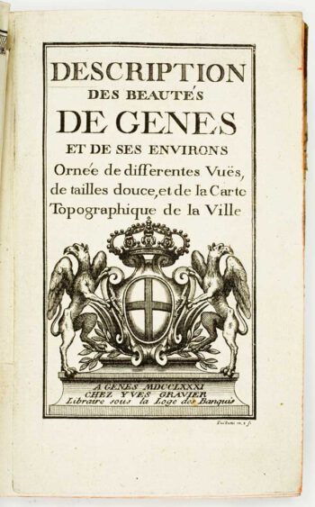
An 18th century guide book to Genoa
£1,600GRAVIER, Yves.
Published In 1781
Stock No. 8290 -

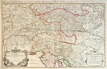
Two-sheet map of Austria
£350JAILLOT, Alexis-Hubert.
Published In 1705
Stock No. 8270 -

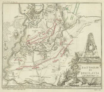
The Battle of Wroclaw, 1757
£50GRISELINI, Francesco.
Published In 1757
Stock No. 8242