- Reset all
- Abruzzo
- Azores
- Bering Strait
- Books about Maps
- Calabria
- Campania
- China
- Emilia Romagna
- Europe
- Hispaniola
- Hungary
- Italy
- London Environs
- Marche
- Maritime
- North America
- Oxfordshire
- Pacific and Australasia
- Pennsylvania
- Pictorial Maps
- Poland
- Polar
- Provence
- Scientific Instruments
- Scotland Maps
- Somerset
- Southern Italy
- Syria
- United States Maps
- Worcestershire
- Zodiac
Showing 1141–1152 of 1239 results
-

Sea chart of the East China Sea
£900BRYANT, Tomas.
Published In 1864
Stock No. 12452 -

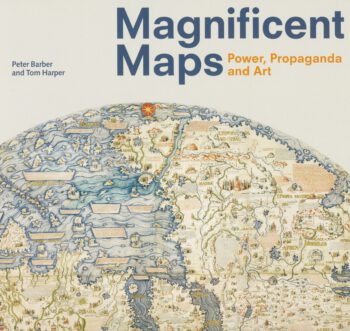
The cream of the British Library map collection
£20BARBER, Peter & HARPER, Tom.
Published In 2010
Stock No. 12442 -

A history of London through maps
£20WHITFIELD, Peter.
Published In 2006
Stock No. 12441 -

Important French map of China by D’Anville
£900ANVILLE, Jean Baptiste B. D'.
Published In 1737
Stock No. 12227 -

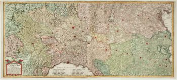
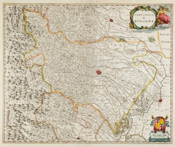
A two-sheet old map of the Po River
£1,300CERRUTI, Agostino.
Published In 1735
Stock No. 12221 -

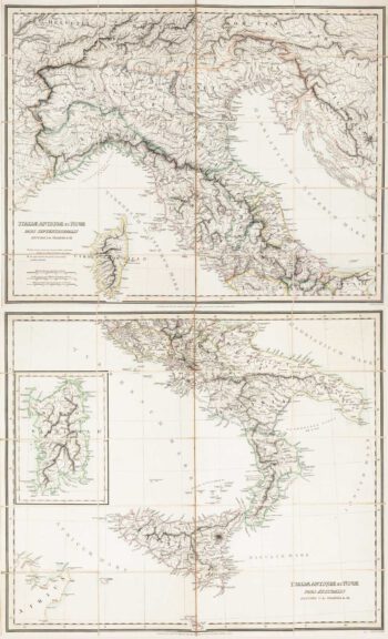
Two-sheet folding map of Italy
£650CRAMER. John Anthony.
Published In 1825
Stock No. 12143 -

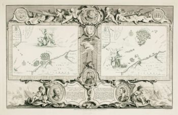
The story of the Spanish Armada from the House of Lords tapestries
£800PINE, John.
Published In 1739
Stock No. 12117 -
The story of the Spanish Armada from the House of Lords tapestries
£800PINE, John.
Published In 1739
Stock No. 12114 -

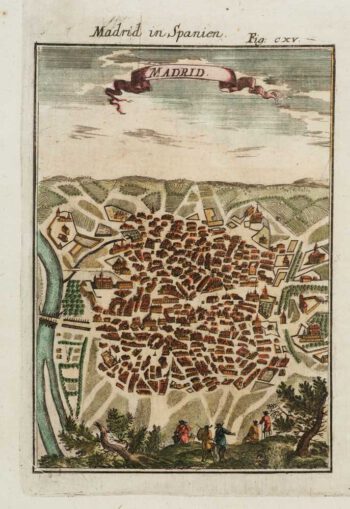
A 17th century prospect of Madrid
£150MALLET, Alain Manesson.
Published In 1684
Stock No. 12100 -

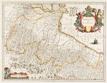
Classic 17th century Blaeu map of Romagna
£300BLAEU, Johannes.
Published In 1640
Stock No. 12069 -

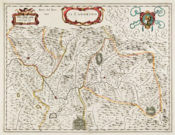
17th century map of Cadore
£200BLAEU, Johannes.
Published In 1640
Stock No. 12068 -

17th century map of Emilia Romagna
£225BLAEU, Johannes.
Published In 1640
Stock No. 12048