- Reset all
- Abruzzo
- Balkan maps
- Black Sea
- Books about Maps
- Calabria
- Campania
- Central America
- China
- Constantinople
- Essex
- Germany
- Gibraltar
- Greece
- Hispaniola
- Hungary
- Indian Ocean
- Italy
- Kent
- London Environs
- Maritime
- Monaco
- Moon
- Near East
- Netherlands
- North America
- Old World
- Pacific and Australasia
- Pacific Ocean
- Panama
- Provence
- Russia
- Scientific Instruments
- Somerset
- Southern Italy
- Spain
- St Helena
- Syria
- Turkey
- Views
- Virginia
- Worcestershire
- Zodiac
Showing 1–12 of 921 results
-

An unusual 18th century map of the Holy Land
£800SEUTTER, Matth?us.
Published In 1745
Stock No. 24605 -

Zatta’s important map showing Cook’s charting of New Zealand
£1,750ZATTA, Antonio.
Published In 1778
Stock No. 24601 -

A plan of Jerusalem after Adrichom
£750SEUTTER, Matth?us.
Published In 1730
Stock No. 24600 -

Map of Australia and New Zealand after Cook’s First Voyage to the Pacific
£1,000ZATTA, Antonio.
Published In 1776
Stock No. 24599 -

An early woodcut map of the Holy Land
£850MUNSTER, Sebastian.
Published In 1552
Stock No. 24569 -

Munster’s classic woodcut map of Italy
£850MUNSTER, Sebastian.
Published In 1572
Stock No. 24562 -

The English edition of Du Halde’s map of Guangdong
£1,600DU HALDE, Johann Baptiste.
Published In 1738
Stock No. 24558 -

A classic 16th century Dutch map of Italy
£1,400ORTELIUS, Abraham.
Published In 1572
Stock No. 24552 -

A rare 18th century townplan of Worcester
£2,400YOUNG, George.
Published In 1780
Stock No. 24545 -

An 18th century map of North America
£1,200WEIGEL, Christoph.
Published In 1718
Stock No. 24541 -

The Peutinger Table, one of the few surviving examples of Roman cartography
£2,000JANSSON, Jan.
Published In 1700
Stock No. 24492 -

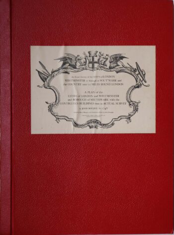
Facsimile of both Rocque’s 24 & 16-sheet map of London
£650ROCQUE, John.
Published In 1971
Stock No. 24478