Showing 313–324 of 336 results
-

Early townplan of Sluis in Belgium
£220BRAUN, Georg & HOGENBERG, Frans.
Published In 1581
Stock No. 9914 -

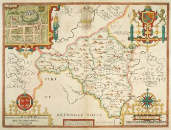
Speed’s county map of Radnor
£280SPEED, John.
Published In 1676
Stock No. 9874 -

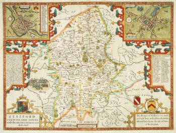
Staffordshire
£620SPEED, John.
Published In 1676
Stock No. 9870 -
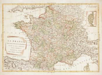
The new Departements of France
£350ZATTA, Antonio.
Published In 1792
Stock No. 9534 -

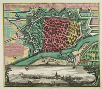
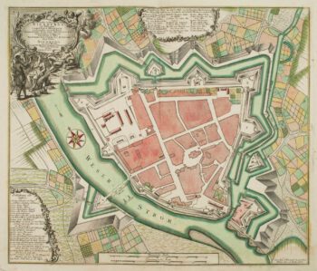
18th century town plan of Ulm
£550SEUTTER, Matthaus.
Published In 1741
Stock No. 9406 -

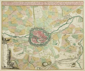
18th century map of Brunswick and its environs
£260SEUTTER, Matthaus.
Published In 1735
Stock No. 9404 -

18th century town plan of Nienburg
£350SEUTTER, Matthaus.
Published In 1741
Stock No. 9316 -

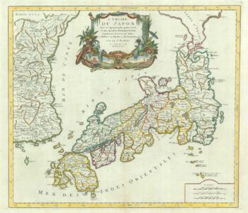
18th century map of Japan
£500SANTINI, Francesco & Paolo.
Published In 1778
Stock No. 9315 -

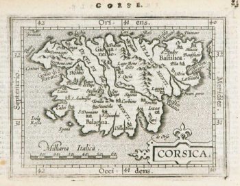
Miniature map of Corsica
£125ORTELIUS, Abraham.
Published In 1602
Stock No. 9121 -

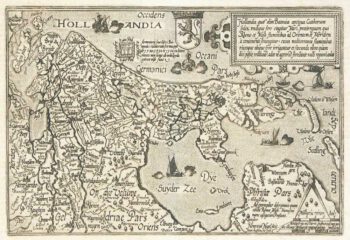
Holland
£400QUAD, Matthias.
Published In 1600
Stock No. 9094 -

Plan of Toulon in the mid-19th century
£75Society for the Diffusion of Useful Knowledge.
Published In 1836
Stock No. 9047 -
Map of France celebrating the military successes of Louis XIV
£450LOTTER, Tobias Conrad.
Published In 1750
Stock No. 8717