- Reset all
- Advertising
- Argentina
- Bering Strait
- Bolivia
- British Isles
- Canada
- Canary Islands
- Devon
- Eastern Europe
- Eastern Seaboard Maps
- Elba
- Frontispieces
- Gulf States
- Hertfordshire
- Lancashire
- Latvia and Estonia
- Leicestershire
- Madeira
- Maritime
- Morocco
- Netherlands
- North America Maps
- Northamptonshire
- Nottinghamshire
- Poland
- Prints
- Russia
- Scottish Islands
- Solar System
- Sussex
- Switzerland
- Trentino
- United States
- Vietnam
- Virginia
- Westmorland
- World and Continents
- World Maps
Showing 745–756 of 761 results
-

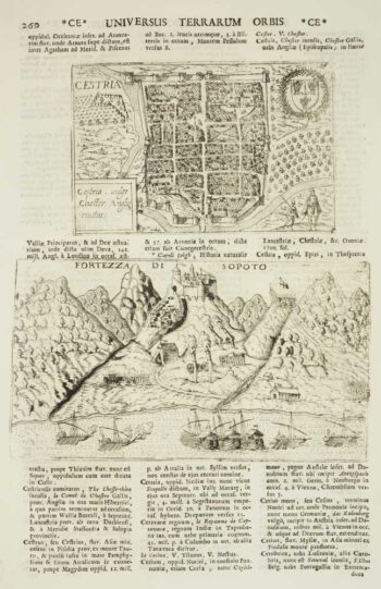
Chester
£50VALEGIO, Francesco & ROSACCIO, Guiseppe.
Published In 1713
Stock No. 9797 -

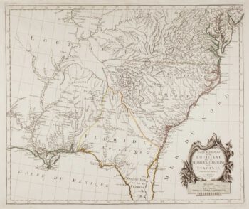
18th century map of the American South East
£500SANTINI, Francesco & Paolo.
Published In 1776
Stock No. 9346 -

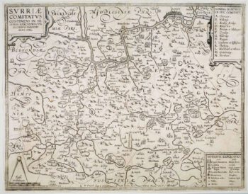
The so-called ‘Anonymous’ map of Surrey
£2,000SMITH, William.
Published In 1665
Stock No. 9177 -

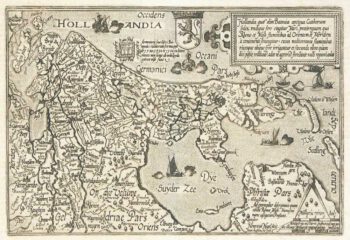
Holland
£400QUAD, Matthias.
Published In 1600
Stock No. 9094 -

The roads from Warrington to Chester and Manchester to Derby
£250OGILBY, John.
Published In 1675
Stock No. 9075 -

The search for the North West Passage
£700MORTIER, Pierre.
Published In 1705
Stock No. 8709 -

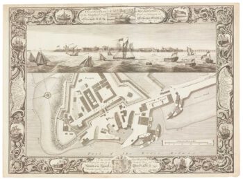
Fine plan of the naval dockyard at Sheerness, Kent
£600MILTON, Thomas.
Published In 1755
Stock No. 8492 -

Friesland
£250JANSSON, Jan.
Published In 1666
Stock No. 8433 -

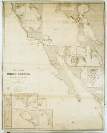
Blue-back chart of the West Coast of the USA
£950IMRAY, James.
Published In 1870
Stock No. 8360 -

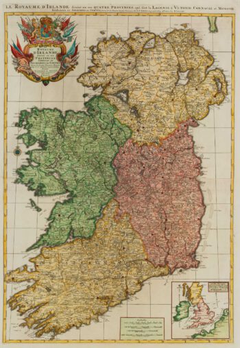
A two-sheet map of Ireland
£1,300JAILLOT, Alexis-Hubert.
Published In 1700
Stock No. 8318 -

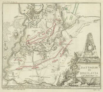
The Battle of Wroclaw, 1757
£50GRISELINI, Francesco.
Published In 1757
Stock No. 8242 -

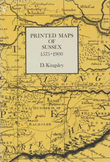
Bibliography of maps of Sussex
£25KINGSLEY, David.
Published In 1982
Stock No. 8084