Showing 73–84 of 105 results
-

A French edition of Cleveley’s famous view of Matavi Bay, Tahiti
£4,500CLEVELEY, James & John.
Published In 1790
Stock No. 20326 -

Large and detailed 19th century map of New Zealand
£1,800WYLD, James.
Published In 1890
Stock No. 22024 -

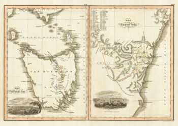
Maps of New South Wales and Tasmania
£480LIZARS, William Home.
Published In 1830
Stock No. 22021 -

Australia & East India Islands
£160WYLD, James.
Published In 1819
Stock No. 22020 -

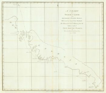
Chart from the return voyage of a ‘First Fleet’ ship
£120SHORTLAND, Thomas George.
Published In 1789
Stock No. 21908 -

Cook’s chart of the South Pacific from his First Voyage
£1,400COOK, James.
Published In 1773
Stock No. 20839 -

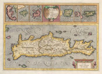
Mercator’s maps of the Greek Islands
£500MERCATOR, Gerard.
Published In 1595
Stock No. 20835 -

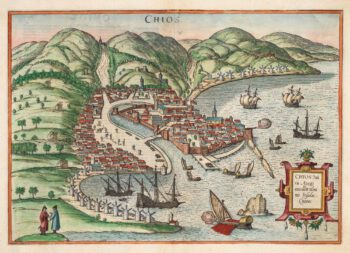
An early town plan of Scio
£700BRAUN, Georg & HOGENBERG, Frans.
Published In 1588
Stock No. 20280 -

The first map of the Thames River in New Zealand
£400COOK, James.
Published In 1773
Stock No. 21095 -

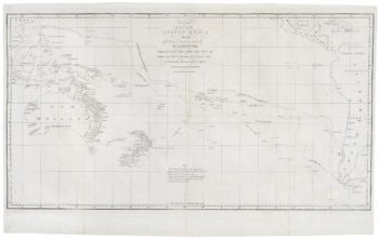
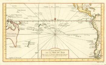
18th century map of the South Pacific Ocean
£320BELLIN, Jacques-Nicolas.
Published In 1753
Stock No. 19908 -

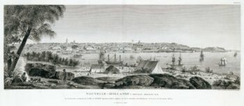
An early prospect of Sydney
£1,400LESUEUR, Charles Alexandre.
Published In 1811
Stock No. 19691 -

Portrait of an Aboriginal man
£220LESUEUR, Charles Alexandre.
Published In 1811
Stock No. 19660