Showing 1–12 of 114 results
-

Munster’s map of northern Europe after Ortelius
£750MUNSTER, Sebastian.
Published In 1514
Stock No. 24585 -

A late-Georgian map of the environs of London
£650CRUCHLEY, George Frederick.
Published In 1827
Stock No. 15495 -

Seven scarce Italian playing cards depicting Russia
£480Anonymous.
Published In 1790
Stock No. 24360 -

A 16th century town plan of Kilwa Kisiwani, Tanzania
£160VALEGIO, Francesco.
Published In 1598
Stock No. 24213 -

A 16th century town plan of Mombasa
£280VALEGIO, Francesco.
Published In 1598
Stock No. 24156 -

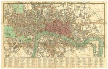
London in the reign of William IV
£550SMITH, Charles.
Published In 1836
Stock No. 24428 -

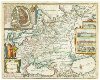
Russia, from the first English atlas of the World
£2,200SPEED, John.
Published In 1676
Stock No. 23731 -

Early 19th century plan of London
£350Anonymous.
Published In 1810
Stock No. 24505 -

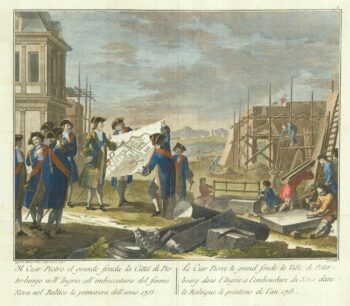
The founding of St Petersburg by Peter the Great
£700ZATTA, Antonio.
Published In 1797
Stock No. 24504 -

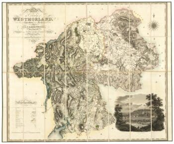
A large scale map of Westmorland in fine colour
£1,500GREENWOOD, C. & J.
Published In 1824
Stock No. 24069 -

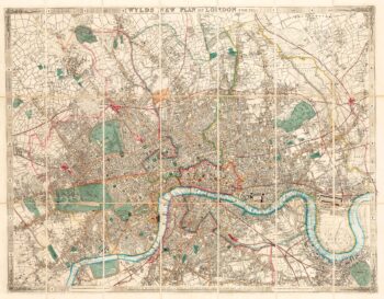
A Victorian plan of London
£750WYLD, James.
Published In 1859
Stock No. 23945 -

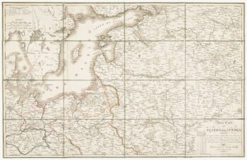
Detailed folding map of the ‘Patriotic War of 1812’
£550VALLARDI, Guiseppe and Pietro.
Published In 1808
Stock No. 22675