- Reset all
- Africa Continent
- Andalusia
- Antarctic
- Argentina
- Australia
- Benelux
- British Isles
- Central America
- Eastern Europe
- Emilia Romagna
- Hertfordshire
- Holy Land
- Indian Ocean
- Madeira
- Map Games
- Massachusetts
- Northern Italy
- Pacific Islands
- Patagonia
- Scandinavia
- Scientific Instruments
- Scottish Islands
- Singapore
- Sri Lanka
- Suffolk
- Syria
- Texas
- Wiltshire
- Wind Roses
Showing 1–12 of 781 results
-

An unusual 18th century map of the Holy Land
£800SEUTTER, Matth?us.
Published In 1745
Stock No. 24605 -

Blaeu’s classic 17th century map of Iceland
£1,200BLAEU, Willem Janszoon.
Published In 1635
Stock No. 24604 -

A plan of Jerusalem after Adrichom
£750SEUTTER, Matth?us.
Published In 1730
Stock No. 24600 -

16th century woodcut map of Sri Lanka as Taprobana
£500MUNSTER, Sebastian.
Published In 1574
Stock No. 24578 -

An early woodcut map of the Holy Land
£850MUNSTER, Sebastian.
Published In 1552
Stock No. 24569 -

An early woodcut map of Scandinavia
£1,100MUNSTER, Sebastian.
Published In 1572
Stock No. 24567 -

An early woodcut map of England
£1,000MUNSTER, Sebastian.
Published In 1572
Stock No. 24564 -

A late Victorian plan of Brighton.
£1,100TREACHER, H. & C.
Published In 1890
Stock No. 24546 -

A rare 18th century townplan of Worcester
£2,400YOUNG, George.
Published In 1780
Stock No. 24545 -

17th century prospect of Biblical Jerusalem
£1,000DAPPER, Olfert.
Published In 1677
Stock No. 24540 -

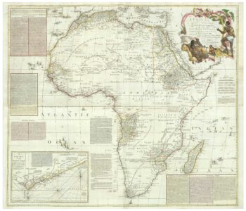
An 18th century wall map of Africa
£2,000ANVILLE, Jean Baptiste B. D'.
Published In 1772
Stock No. 24498 -

Four scarce Italian playing cards depicting Norway
£850Anonymous.
Published In 1790
Stock No. 24246