- Reset all
- Africa
- Asia
- Atlases
- Azores
- Balearics
- Balkan maps
- Bolivia
- Buckinghamshire
- Burma
- Central Asia
- Cyprus
- Devon
- Europe Continent
- Florida
- Germany
- Gibraltar
- Globes and Instruments
- Greece
- Gulf States
- Indonesia
- Ionian Islands
- Lancashire
- Latvia and Estonia
- Lincolnshire
- London Localities
- Madagascar
- Map Games
- Marche
- Maritime
- Netherlands
- New York
- Northern Europe
- Panama
- Pennsylvania
- Portraits
- Rutland
- Sardinia
- Scottish Islands
- Southern Europe
- Suffolk
- Sussex
- Switzerland
- Tuscany
- Ukraine
- Umbria
- World
Showing 1–12 of 1424 results
-

An unusual 18th century map of the Holy Land
£800SEUTTER, Matth?us.
Published In 1745
Stock No. 24605 -

Blaeu’s classic 17th century map of Iceland
£1,200BLAEU, Willem Janszoon.
Published In 1635
Stock No. 24604 -

A plan of Jerusalem after Adrichom
£750SEUTTER, Matth?us.
Published In 1730
Stock No. 24600 -

16th century woodblock prospect of Lisbon
£450MUNSTER, Sebastian.
Published In 1580
Stock No. 24586 -

Munster’s map of northern Europe after Ortelius
£750MUNSTER, Sebastian.
Published In 1514
Stock No. 24585 -

16th century woodcut map of Sri Lanka as Taprobana
£500MUNSTER, Sebastian.
Published In 1574
Stock No. 24578 -

A 16th century woodcut map of Poland, Lithuania and Hungary
£700MUNSTER, Sebastian.
Published In 1572
Stock No. 24574 -

An early woodcut map of the Holy Land
£850MUNSTER, Sebastian.
Published In 1552
Stock No. 24569 -

Munster’s famous ‘Upside-down’ map of Europe
£1,350MUNSTER, Sebastian.
Published In 1572
Stock No. 24568 -

An early woodcut map of Scandinavia
£1,100MUNSTER, Sebastian.
Published In 1572
Stock No. 24567 -
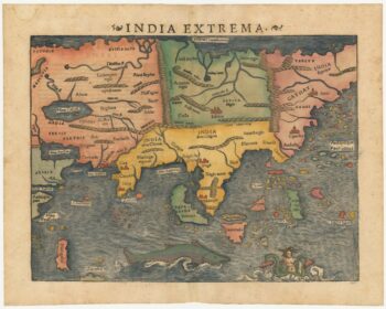
The first printed map of Asia
£1,850MUNSTER, Sebastian.
Published In 1572
Stock No. 24565 -

Munster’s classic woodcut map of Italy
£850MUNSTER, Sebastian.
Published In 1572
Stock No. 24562