Showing 1009–1016 of 1016 results
-

17th century map of the North Riding of Yorkshire in fine colour
£650BLAEU, Johannes.
Published In 1662
Stock No. 23040 -
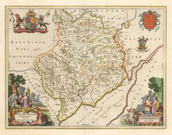
Blaeu’s map of Monmouthshire, with fine colour
£500BLAEU, Johannes.
Published In 1662
Stock No. 23039 -

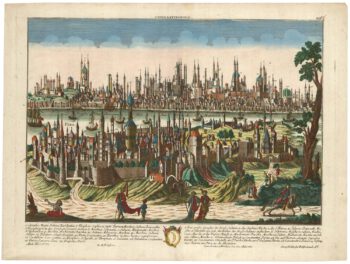
An 18th century prospect of Constantinople
£1,250PROBST, Georg Matthaus.
Published In 1780
Stock No. 23037 -

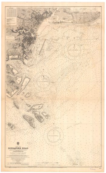
A detailed sea chart of Singapore
£3,000BRITISH ADMIRALTY.
Published In 1931
Stock No. 22931 -

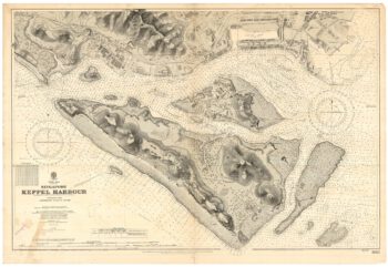
A detailed sea chart of Keppel Harbour, Singapore
£2,500BRITISH ADMIRALTY.
Published In 1931
Stock No. 22930 -

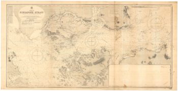
A detailed sea chart of the Singapore Strait
£2,600BRITISH ADMIRALTY.
Published In 1931
Stock No. 22929 -

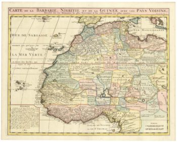
An 18th century map of Northwest Africa
£340CHATELAIN, Henri Abraham.
Published In 1720
Stock No. 22881 -

An 18th century map of Africa below the Equator
£380CHATELAIN, Henri Abraham.
Published In 1720
Stock No. 22880