Showing 781–792 of 809 results
-

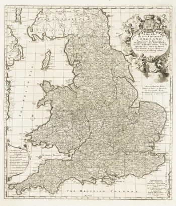
An Anglo-Dutch separate-issue road map of England
£480VISSCHER, Nicolas.
Published In 1694
Stock No. 10557 -

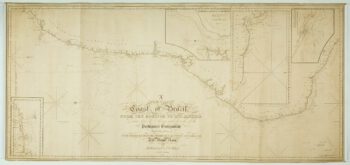
A detailed American ‘blue-back’ sea chart of the Brazilian coastline
£1,200BLUNT, E. & G.W.
Published In 1840
Stock No. 10336 -

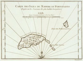
Madeira
£150BELLIN, Jacques-Nicolas.
Published In 1746
Stock No. 10178 -

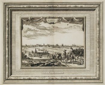
Early 18th century view of Paris
£580AA, Pieter van der.
Published In 1715
Stock No. 9942 -

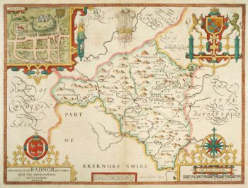
Speed’s county map of Radnor
£280SPEED, John.
Published In 1676
Stock No. 9874 -

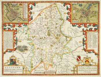
Staffordshire
£620SPEED, John.
Published In 1676
Stock No. 9870 -

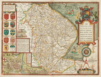
17th century English map of Lincolnshire
£800SPEED, John.
Published In 1676
Stock No. 9869 -

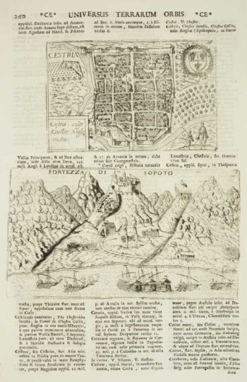
Chester
£50VALEGIO, Francesco & ROSACCIO, Guiseppe.
Published In 1713
Stock No. 9797 -

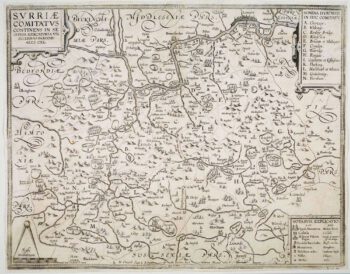
The so-called ‘Anonymous’ map of Surrey
£2,000SMITH, William.
Published In 1665
Stock No. 9177 -

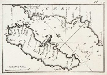
An 18th century chart of Corfu
£95ROUX, Joseph.
Published In 1764
Stock No. 9108 -
The roads from Warrington to Chester and Manchester to Derby
£250OGILBY, John.
Published In 1675
Stock No. 9075 -

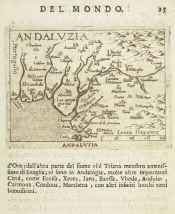
Miniature map of Andalusia
£60ORTELIUS, Abraham.
Published In 1598
Stock No. 9054