Showing 37–48 of 161 results
-

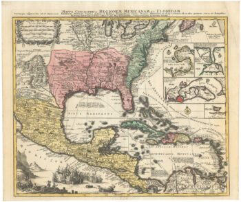
The European colonies in North America in the 18th century
£1,400SEUTTER, Matthaus.
Published In 1735
Stock No. 24089 -

Four-volume set of the Dictionary of Mapmakers
£450SCOTT, Valerie [Ed.]
Published In 2004
Stock No. 23894 -

An in-depth survey of mapping in England
£40DELANO-SMITH, Catherine & Kain, Roger J.P.
Published In 1999
Stock No. 23882 -

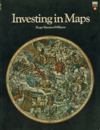
Guide to collecting antiquarian maps
£30BAYNTON-WILLIAMS, Roger.
Published In 1971
Stock No. 23871 -

Map of the city and university of Oxford
£240MOULE, Thomas.
Published In 1848
Stock No. 23657 -

A miniature map of Mahe
£190WATERLOW & SONS LTD
Published In 1900
Stock No. 23635 -

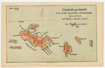
A miniature map of the northern Seychelles islands.
£175WATERLOW & SONS LTD
Published In 1900
Stock No. 23633 -

A map of Oxford in Elizabethan times
£1,250AGAS, Ralph.
Published In 1733
Stock No. 23589 -

A Dutch edition of rhe first printed map to accurately plot the Mississippi River
£1,700DELISLE, Guillaume.
Published In 1722
Stock No. 23463 -

A two-sheet prospect of the Ponte Nuovo, Naples
£3,500RICCIARDELLI, Gabriele.
Published In 1765
Stock No. 23422 -

A two-sheet prospect of Chiaia with the Bay of Naples and Vesuvius
£3,500RICCIARDELLI, Gabriele.
Published In 1765
Stock No. 23421 -

An early example of this classic 17th century map of Oxfordshire
£1,800SPEED, John.
Published In 1616
Stock No. 23334