Showing 133–144 of 164 results
-

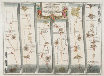
An early map of the roads from Abingdon to Monmouth
£180OGILBY, John.
Published In 1675
Stock No. 15312 -

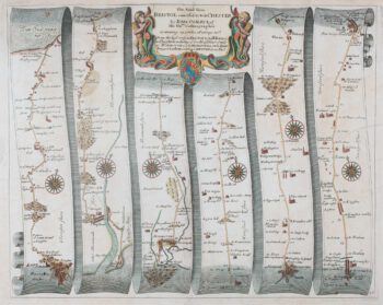
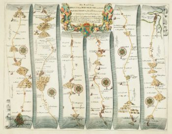
An early map of the roads from Bristol to Ludlow
£320OGILBY, John.
Published In 1675
Stock No. 15308 -

An early map of the roads from Nottingham to Grimsby
£280OGILBY, John.
Published In 1675
Stock No. 15307 -

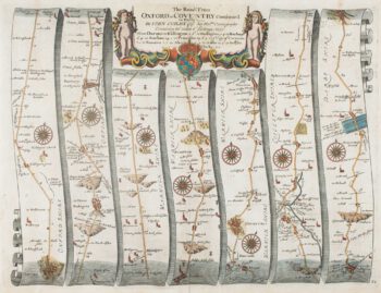
An early map of the roads from Oxford to Coventry and Derby
£300OGILBY, John.
Published In 1675
Stock No. 15299 -

An early road map of St Albans – Oakham
£240OGILBY, John.
Published In 1675
Stock No. 15293 -

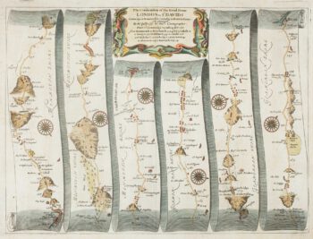
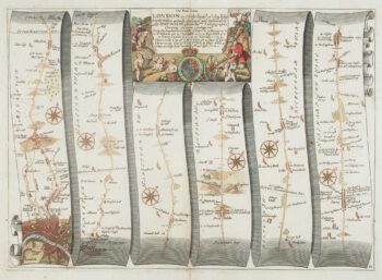
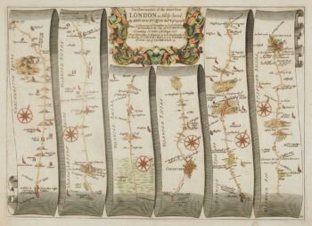
An early map of the road from London to Towcester
£420OGILBY, John.
Published In 1675
Stock No. 15101 -

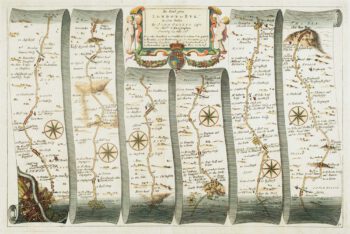
An early map of roads from London to Rye
£380OGILBY, John.
Published In 1675
Stock No. 15100 -

Early map of the roads from Bristol to Weymouth
£240OGILBY, John.
Published In 1675
Stock No. 15096 -

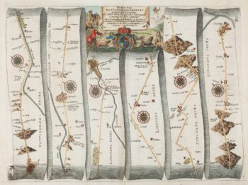
Early map of the roads from York to Lancaster
£270OGILBY, John.
Published In 1675
Stock No. 15090 -

Early map of the roads from Towcester to Lichfield
£230OGILBY, John.
Published In 1675
Stock No. 15088 -

Mortier’s sea chart of Madagascar in full original colour
£1,100MORTIER, Pierre.
Published In 1700
Stock No. 14518 -

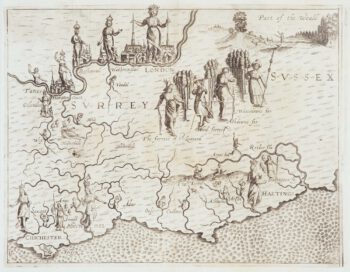
Map of Surrey and Sussex from Drayton’s fantastical ‘Poly-Olbion’
£450DRAYTON, Michael.
Published In 1612
Stock No. 14044