Showing 25–36 of 582 results
-

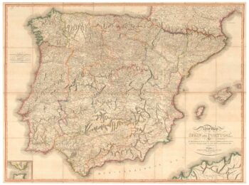
A large map of Iberia published during the Peninsular War
£750CHANLAIRE, Pierre Gregoire & MENTELLE, Edme.
Published In 1808
Stock No. 24072 -

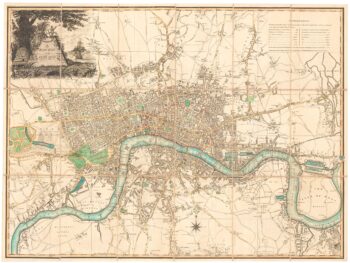
An unrecorded state of an early 19th century plan of London
£1,900LAURIE & WHITTLE.
Published In 1800
Stock No. 23944 -

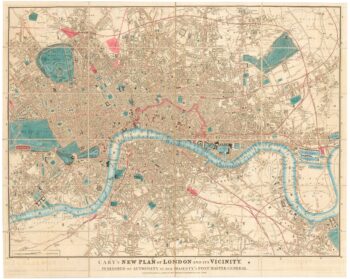
Detailed map of London during the Great Exhibition of 1851
£1,400CARY, John.
Published In 1851
Stock No. 23829 -

The famous ‘Wonderground’ map of London
£3,250GILL, Leslie MacDonald.
Published In 1924
Stock No. 23780 -

The most important prospect of Brescia
£18,000CARBONI, Domenico.
Published In 1764
Stock No. 23648 -

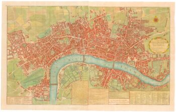
A two-sheet map of 18th century London
£2,200SMITH, Joseph.
Published In 1795
Stock No. 23337 -

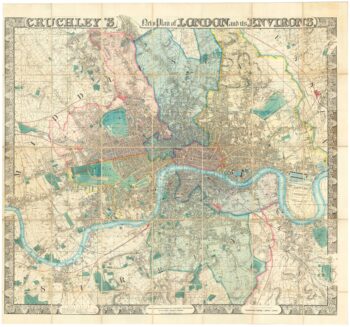
A superb wall map of London in the mid 19th century
£9,000CRUCHLEY, George Frederick.
Published In 1847
Stock No. 23305 -

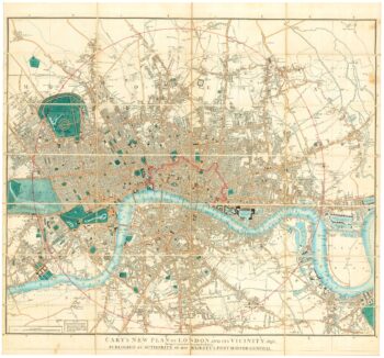
Detailed map of London in the reign of William IV
£1,500CARY, John.
Published In 1836
Stock No. 23294 -

A large French edition of Lopez’s map of Iberia
£850LOPEZ, Thomas.
Published In 1820
Stock No. 23293 -
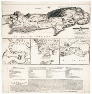
Dutch broadsheet of the Anglo-Spanish War, 1727-9
£900LETH, Andries de.
Published In 1727
Stock No. 22698 -

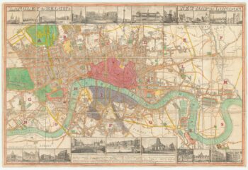
Town plan of Georgian London with illustrated borders
£2,800LANGLEY & BELCH.
Published In 1816
Stock No. 18491 -

16th century map with Cyprus & Crete
£900ORTELIUS, Abraham.
Published In 1573
Stock No. 24407