Showing 61–72 of 154 results
-

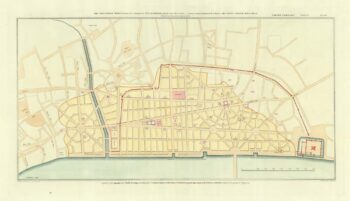
Wren’s plan for the rebuilding of London
£800WREN, Christopher.
Published In 1800
Stock No. 18476 -

Carto-bibliography on atlas maps by Ortelius
£70VAN DEN BROECKE, Marcel.
Published In 2011
Stock No. 18385 -

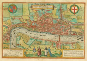
The first available printed map of London
£8,500BRAUN, Georg & HOGENBERG, Frans.
Published In 1579
Stock No. 18303 -

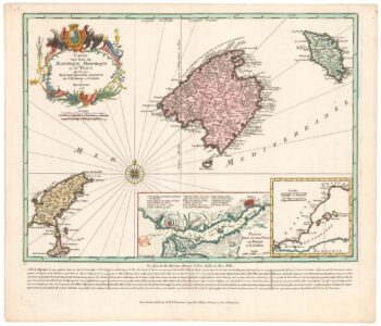
An early example of Seutter’s map of the Balearics
£980SEUTTER, Matthaus.
Published In 1741
Stock No. 23095 -

Map of the Balearics during the Seven Years’ War
£850SEUTTER, Matthaus.
Published In 1760
Stock No. 22960 -

Town plan of Georgian London with illustrated borders
£2,800LANGLEY & BELCH.
Published In 1812
Stock No. 22899 -

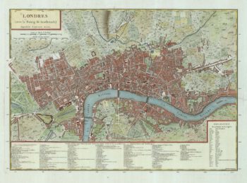
A French edition of Rocque’s map of London
£800TARDIEU, Pierre François.
Published In 1765
Stock No. 22729 -
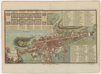
A late-18th century plan of Edinburgh
£350ANDREWS, John.
Published In 1800
Stock No. 23175 -

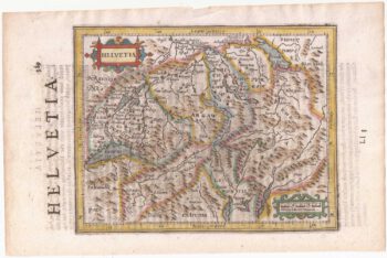
Switzerland from the first English Edition of the ‘Atlas Minor’
£180HONDIUS, Jodocus II.
Published In 1635
Stock No. 22440 -

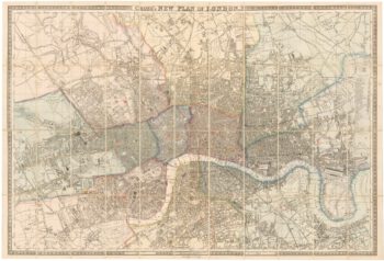
Large scale map of London in 1861
£2,000CROSS, Joseph.
Published In 1861
Stock No. 22409 -

An unknown Italian map of Switzerland
£6,800Anonymous.
Published In 1637
Stock No. 22301 -

17th century map of Madagascar
£550CORONELLI, Vincenzo Maria.
Published In 1690
Stock No. 22294