- Reset all
- America
- Antarctic
- Atlases
- Azores
- Balearics
- Beijing
- Bolivia
- Bristol
- British Isles Sea Charts
- Buckinghamshire
- Burma
- China
- Cyprus
- Devon
- Florida
- Germany
- Gibraltar
- Globes and Instruments
- Greece
- Gulf States
- India
- Indonesia
- Ionian Islands
- Lancashire
- Latvia and Estonia
- London Localities
- Madagascar
- Map Games
- Marche
- Maritime
- Morocco
- New York
- Panama
- Pennsylvania
- Rutland
- Scottish Islands
- Serio-Comic
- Southern Europe
- Suffolk
- Sussex
- Switzerland
- Tuscany
- Umbria
- World
Showing 1045–1056 of 1119 results
-

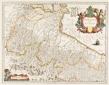
Classic 17th century Blaeu map of Romagna
£300BLAEU, Johannes.
Published In 1640
Stock No. 12069 -

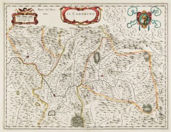
17th century map of Cadore
£200BLAEU, Johannes.
Published In 1640
Stock No. 12068 -

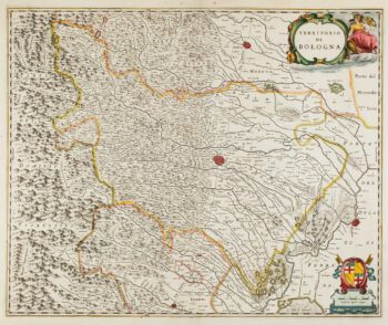
17th century map of Emilia Romagna
£225BLAEU, Johannes.
Published In 1640
Stock No. 12048 -

17th century map of China
£1,200LOON, Jan van.
Published In 1690
Stock No. 11964 -

17th century sea-chart of the West Indies
£2,500GOOS, Pieter.
Published In 1666
Stock No. 11906 -

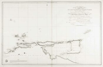
An uncommon 19th century Spanish sea chart of Trinidad and Venezuela
£1,500DIRECCION HIDROGRAFICA DE MADRID.
Published In 1865
Stock No. 11887 -

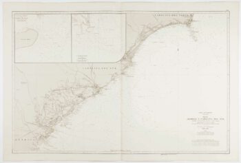
An uncommon Spanish sea chart of Georgia & South Carolina
£1,500DIRECCION HIDROGRAFICA DE MADRID.
Published In 1868
Stock No. 11862 -
An uncommon Spanish sea chart of North Carolina
£2,000DE LORENZO, J.
Published In 1868
Stock No. 11861 -

An uncommon Spanish sea chart of the Eastern Seaboard
£550NOGUERA, C.
Published In 1860
Stock No. 11859 -
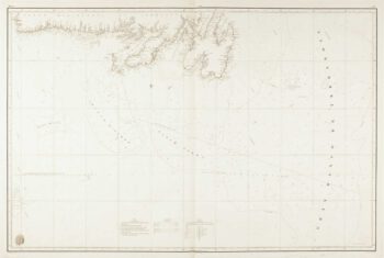
An uncommon Spanish sea chart of the Eastern Seaboard
£1,700NOGUERA, C.
Published In 1860
Stock No. 11858 -

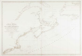
A scarce Spanish two-sheet sea chart of Newfoundland
£1,200MORENO, Miguel.
Published In 1860
Stock No. 11852 -
An uncommon 19th century Spanish sea chart of the Dominican Republic
£100MOUCHEZ, Amédée Ernest Barthémy.
Published In 1865
Stock No. 11846