- Reset all
- America
- Argentina
- Atlases and Books
- Bahamas
- Balearics
- Beijing
- Bering Strait
- Bolivia
- Books
- British Isles Maps
- Catalonia
- Caucasus
- Cheshire
- Derbyshire
- Dorset
- French Regions
- Iceland
- Korea
- Latvia and Estonia
- London
- Middlesex
- North Africa
- Northern Europe
- Scotland Maps
- St Helena
- Syria
- Wales
- Westmorland
- Wind Roses
- World
Showing 709–720 of 746 results
-

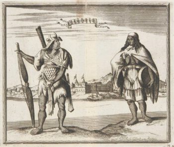
Miniature map of Peru
£80DU VAL, Pierre.
Published In 1682
Stock No. 10824 -

Abyssinia, with the mythical kingdom of Prester John
£280MONTANUS, Arnoldus.
Published In 1670
Stock No. 10724 -

A large and detailed chart of the Bahamas
£650BELLIN, Jacques-Nicolas.
Published In 1768
Stock No. 10641 -

Cook’s Third Voyage, with the First Map of Hawaii
£3,750COOK, James.
Published In 1785
Stock No. 10583 -

A pictorial map of the Baltic theatre of the Crimean War
£325ILLUSTRATED LONDON NEWS.
Published In 1856
Stock No. 10369 -

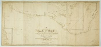
A detailed American ‘blue-back’ sea chart of the Brazilian coastline
£1,200BLUNT, E. & G.W.
Published In 1840
Stock No. 10336 -

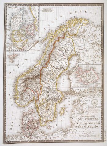
Detailed 19th century map of Scandinavia
£160BRUÉ, Adrien Hubert.
Published In 1825
Stock No. 10277 -

Virginia & Florida
£1,350BLAEU, Willem Janszoon.
Published In 1647
Stock No. 10145 -

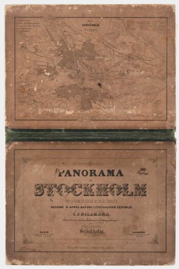
A true panorama of Stockholm
£1,200BILLMARK, C.J.
Published In 1850
Stock No. 10136 -

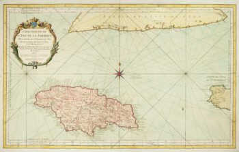
A large chart of Jamaica
£425BELLIN, Jacques-Nicolas.
Published In 1753
Stock No. 10124 -

Campeche
£50ALLARD, Carel.
Published In 1720
Stock No. 9995 -

Ptolemaic map of the Caucasus
£700WALDSEEMULLER, Martin.
Published In 1535
Stock No. 9883