Showing 937–948 of 967 results
-

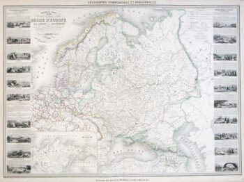
A large map of Northern Europe with vignettes
£220VUILLEMIN, Alexandre A.
Published In 1860
Stock No. 9549 -

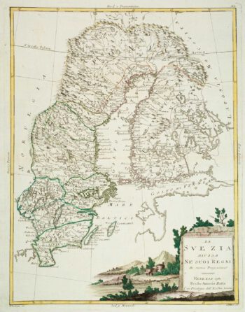
Sweden & Finland
£140ZATTA, Antonio.
Published In 1781
Stock No. 9536 -

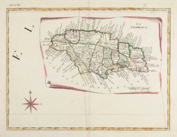
18th century Italian map of Jamaica
£380ZATTA, Antonio.
Published In 1784
Stock No. 9445 -

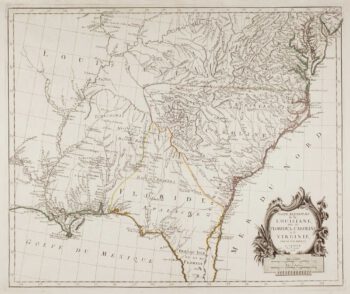
18th century map of the American South East
£500SANTINI, Francesco & Paolo.
Published In 1776
Stock No. 9346 -

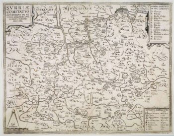
The so-called ‘Anonymous’ map of Surrey
£2,000SMITH, William.
Published In 1665
Stock No. 9177 -

The roads from Warrington to Chester and Manchester to Derby
£250OGILBY, John.
Published In 1675
Stock No. 9075 -

Plan of Toulon in the mid-19th century
£75Society for the Diffusion of Useful Knowledge.
Published In 1836
Stock No. 9047 -

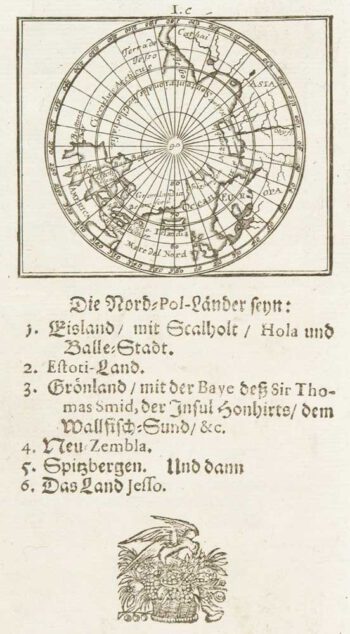
Uncommon miniature map of Arctic
£180MULLER, Johann Ulrich.
Published In 1692
Stock No. 8946 -

Uncommon miniature map of the West Indies
£175MULLER, Johann Ulrich.
Published In 1692
Stock No. 8928 -

Blue-Back Chart of the Bay of Biscay
£650STEEL & CO.
Published In 1813
Stock No. 9661 -

The search for the North West Passage
£700MORTIER, Pierre.
Published In 1705
Stock No. 8709 -

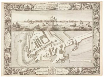
Fine plan of the naval dockyard at Sheerness, Kent
£600MILTON, Thomas.
Published In 1755
Stock No. 8492