Showing 361–372 of 418 results
-

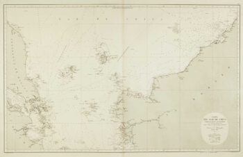
Sea chart of the South China Sea
£750DE LORENZO, J.
Published In 1864
Stock No. 12457 -

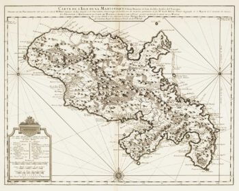
Map of 18th-century Martinique
£550JEFFERYS, Thomas.
Published In 1779
Stock No. 12317 -

18th century map of Martinique
£650COVENS & MORTIER.
Published In 1740
Stock No. 12311 -

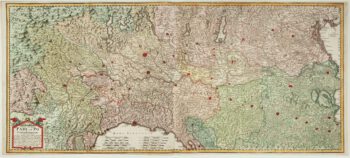
A two-sheet old map of the Po River
£1,300CERRUTI, Agostino.
Published In 1735
Stock No. 12221 -

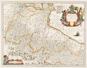
Classic 17th century Blaeu map of Romagna
£300BLAEU, Johannes.
Published In 1640
Stock No. 12069 -
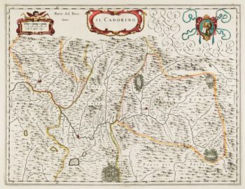
17th century map of Cadore
£200BLAEU, Johannes.
Published In 1640
Stock No. 12068 -

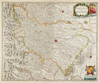
17th century map of Emilia Romagna
£225BLAEU, Johannes.
Published In 1640
Stock No. 12048 -

17th century sea-chart of the West Indies
£2,500GOOS, Pieter.
Published In 1666
Stock No. 11906 -

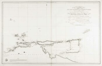
An uncommon 19th century Spanish sea chart of Trinidad and Venezuela
£1,500DIRECCION HIDROGRAFICA DE MADRID.
Published In 1865
Stock No. 11887 -

An uncommon 19th century Spanish sea chart of the Dominican Republic
£100MOUCHEZ, Amédée Ernest Barthémy.
Published In 1865
Stock No. 11846 -

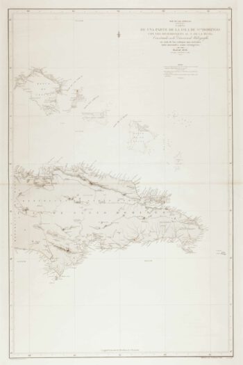
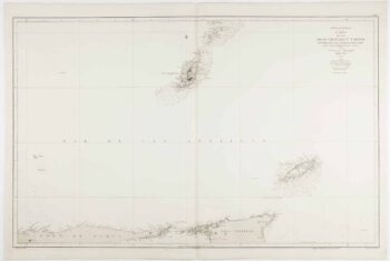
An uncommon 19th century Spanish sea chart of the Dominican Republic & the Turks and Caicos Islands
£550BREGANTE, F.
Published In 1867
Stock No. 11838 -

An uncommon 19th century Spanish sea chart of Grenada and Tobago
£800BREGANTE, S.
Published In 1868
Stock No. 11824