Showing 1–12 of 350 results
-

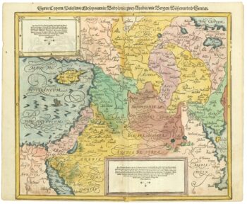
A geological map of the Duchy of Tyrol
£2,350STOTTER, Michael.
Published In 1851
Stock No. 23050 -

16th century map of the Eastern Mediterranean in rare early colour
£880MUNSTER, Sebastian.
Published In 1550
Stock No. 24441 -

A rare wall map of the Holy Land
£9,000NOLIN, Jean Baptiste.
Published In 1785
Stock No. 24500 -
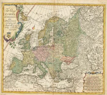
18th century map of Europe
£440EULER, Leonhard.
Published In 1760
Stock No. 24111 -

An incunable prospect of Jerusalem
£1,600SCHEDEL, D. Hartmann.
Published In 1493
Stock No. 24425 -

A 16th century map of the colony of New Spain
£750ORTELIUS, Abraham.
Published In 1584
Stock No. 24448 -

An early 17th century map of Iceland
£350HONDIUS, Jodocus.
Published In 1610
Stock No. 24509 -

An early 20th century plaster relief map of Jerusalem in a box
£1,200VESTER, Frederick.
Published In 1910
Stock No. 24365 -

First issue of Rumold Mercator’s map of Europe
£2,500MERCATOR, Rumold.
Published In 1595
Stock No. 24298 -

Set of three gores covering Australia from Coronelli’s 42 inch globe
£4,500CORONELLI, Vincenzo Maria.
Published In 1693
Stock No. 23726 -

The Colombian Canal, an alternative scheme to Panama
£1,600PUYDT, Lucien de.
Published In 1871
Stock No. 24108 -

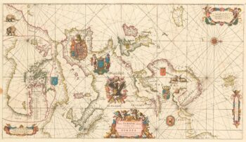
An exceptional 17th century sea chart of Europe on two sheets
£7,500DE WIT, Frederick.
Published In 1675
Stock No. 23450