Showing 1–12 of 24 results
-

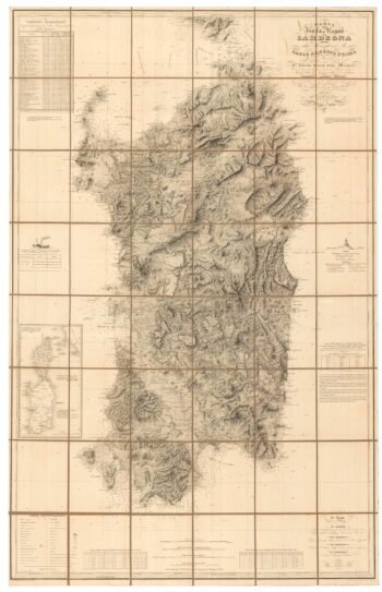
An important 19th century map of Sardinia
£1,100Alberto., Alberto., FERRERO DELLA MARMORA
Published In 1845
Stock No. 24225 -

An 18th century map of the Virgin Islands
£700EDWARDS, Bryan.
Published In 1794
Stock No. 24169 -

The Indian Ocean from Ortelius’s ”Parergon”
£950ORTELIUS, Abraham.
Published In 1608
Stock No. 23719 -
A 17th century map of the early exploration of the Arctic Circle
£1,250BLAEU, Johannes.
Published In 1662
Stock No. 23200 -

Important 16th century ‘Upside-Down’ map of the Indian Ocean
£9,500GASTALDI, Giacomo.
Published In 1565
Stock No. 22851 -

A Dutch chart of the Indian Ocean with Australia
£2,000JANSSON, Jan.
Published In 1650
Stock No. 23581 -

Martin Frobisher’s voyage in search of the North West Passage
£650AA, Pieter van der.
Published In 1714
Stock No. 22079 -

A large format 18th century map of Sardinia
£600SANTINI, Francesco & SANTINI, Paolo.
Published In 1784
Stock No. 21917 -

A 17th century Dutch sea chart of the North Atlantic
£1,350GOOS, Pieter.
Published In 1670
Stock No. 21871 -

An 18th century chart of Sant’Antioco, Sardinia
£120ROUX, Joseph.
Published In 1764
Stock No. 21744 -
An 18th century chart of the Strait of Bonifacio
£80ROUX, Joseph.
Published In 1764
Stock No. 21738 -

An unusual early 18th century map of Central Asia
£420DEGLER, Johannes.
Published In 1700
Stock No. 21509