Showing 25–31 of 31 results
-

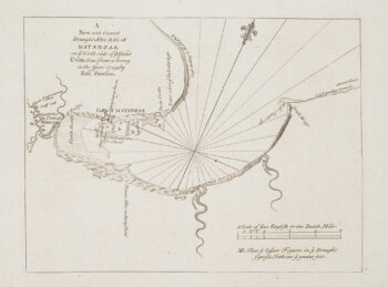
An 18th century chart of Matanzas Bay
£160PEARSON, Robert.
Published In 1748
Stock No. 16952 -

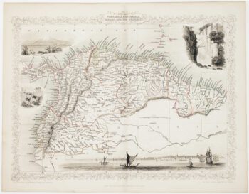
A Victorian map of Colombia, Venezuela, Ecuador and the Guayanas
£120TALLIS, John.
Published In 1851
Stock No. 16147 -

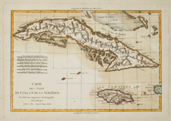
Cuba & Jamaica
£240BONNE, Rigobert.
Published In 1782
Stock No. 15653 -

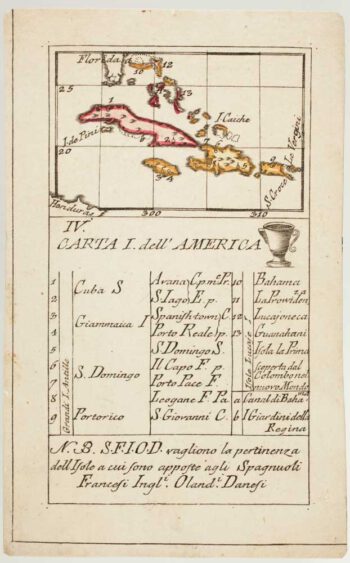
An 18th century playing-card map of northern islands of the West Indies
£280RABATTA, Augusto & BAILOU, Jean Baptist de.
Published In 1779
Stock No. 13032 -

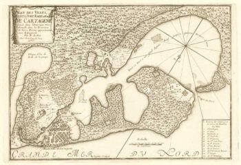
French chart of Cartagena and surrounds
£220FER, Nicolas de.
Published In 1705
Stock No. 18422 -

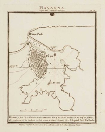
Chart of Havana Harbour
£150LUFFMAN, John.
Published In 1802
Stock No. 12805 -

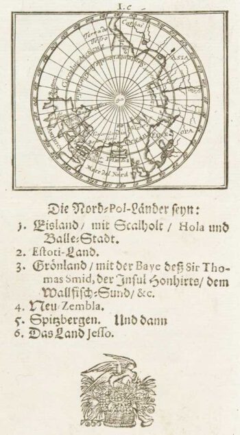
Uncommon miniature map of Arctic
£180MULLER, Johann Ulrich.
Published In 1692
Stock No. 8946