Showing 1–12 of 59 results
-

Munster’s classic woodcut map of Italy
£850MUNSTER, Sebastian.
Published In 1572
Stock No. 24562 -

A classic 16th century Dutch map of Italy
£1,400ORTELIUS, Abraham.
Published In 1572
Stock No. 24552 -

Magini’s edition of Ptolemy’s Geography
£6,000MAGINI, Giovanni Antonio.
Published In 1598
Stock No. 24449 -

18th century decorative map of Italy
£550SEUTTER, Matth?us.
Published In 1740
Stock No. 24614 -

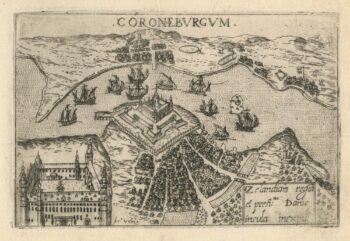
A 16th century town plan of Helsingor
£160VALEGIO, Francesco.
Published In 1598
Stock No. 24200 -

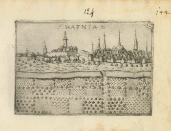
A 16th century town plan of Copenhagen
£290VALEGIO, Francesco.
Published In 1598
Stock No. 24179 -

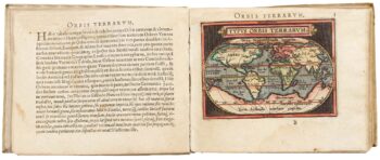
Ortelius’s pocket atlas with the Galle maps in fine colour
£14,000ORTELIUS, Abraham.
Published In 1595
Stock No. 24476 -

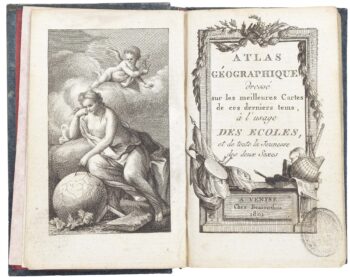
A very fine early 19th century miniature atlas
£2,250REMONDINI, Giuseppe Antonio.
Published In 1801
Stock No. 24527 -

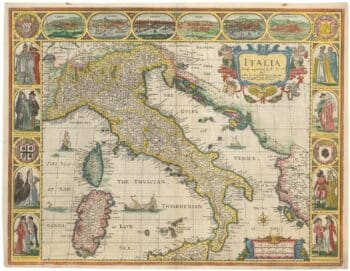
The famous 17th century map of Italy by John Speed
£2,500SPEED, John.
Published In 1665
Stock No. 23988 -

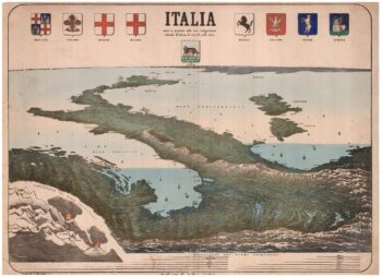
An upside-down bird’s-eye view of Italy from the Alps
£950VALLARDI, Antonio.
Published In 1865
Stock No. 24387 -

A superb 16th century map of Denmark
£2,000JORDAN, Mark.
Published In 1588
Stock No. 23838 -

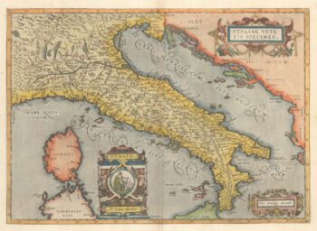
Ortelius’s map of Italy in classical times
£1,200ORTELIUS, Abraham.
Published In 1595
Stock No. 23778