Showing 1–12 of 22 results
-

Magini’s edition of Ptolemy’s Geography
£6,000MAGINI, Giovanni Antonio.
Published In 1598
Stock No. 24449 -

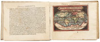
Ortelius’s pocket atlas with the Galle maps in fine colour
£14,000ORTELIUS, Abraham.
Published In 1595
Stock No. 24476 -

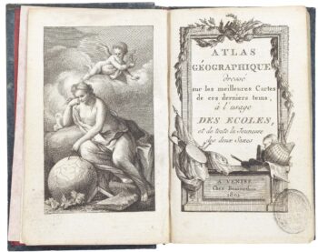
A very fine early 19th century miniature atlas
£2,250REMONDINI, Giuseppe Antonio.
Published In 1801
Stock No. 24527 -

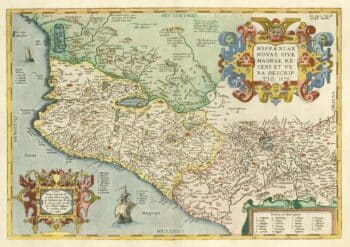
A 16th century map of the colony of New Spain
£750ORTELIUS, Abraham.
Published In 1584
Stock No. 24448 -

The famous map of Leinster by John Speed
£750SPEED, John.
Published In 1665
Stock No. 23786 -

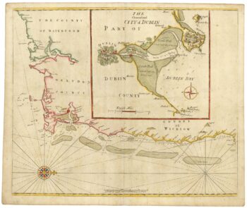
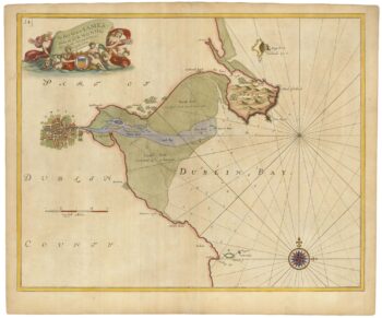
Sea chart of south east Ireland with an inset of Dublin Bay
£550SELLER, Jeremiah.
Published In 1750
Stock No. 23160 -

Sea chart of Dublin Bay from the first English sea-atlas
£550COLLINS, Greenvile.
Published In 1693
Stock No. 23156 -

Miniature map of Longford and West Meath
£100PERROT, Aristide Michel.
Published In 1828
Stock No. 23127 -

Miniature map of East Meath
£110PERROT, Aristide Michel.
Published In 1828
Stock No. 23126 -

Miniature map of Dublin
£110PERROT, Aristide Michel.
Published In 1828
Stock No. 23125 -
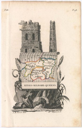
Miniature map of Kildare
£75PERROT, Aristide Michel.
Published In 1828
Stock No. 23120 -
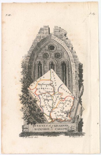
Miniature map of Kilkenny
£95PERROT, Aristide Michel.
Published In 1828
Stock No. 23119