Showing 1–12 of 50 results
-

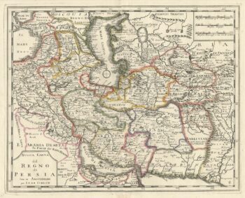
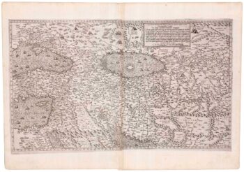
An 18th century Italian map of Persia
£300TIRION, Isaak.
Published In 1740
Stock No. 24550 -

John Oxley’s mapping of New South Wales
£280HALL, Sidney.
Published In 1828
Stock No. 24519 -

A 16th century town plan of Heraklion
£150VALEGIO, Francesco.
Published In 1598
Stock No. 24180 -

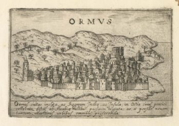
A 16th century Italian plan of Hormuz
£200VALEGIO, Francesco.
Published In 1598
Stock No. 24138 -

A 17th century map of Persia
£380MERIAN, Matthaus.
Published In 1650
Stock No. 20494 -

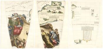
Set of three gores covering Australia from Coronelli’s 42 inch globe
£4,500CORONELLI, Vincenzo Maria.
Published In 1693
Stock No. 23726 -

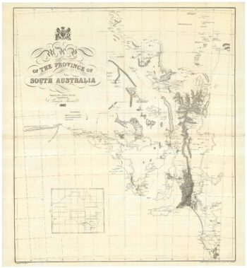
A detailed 19th century survey of South Australia
£950HARRIS, W.G.
Published In 1862
Stock No. 24105 -
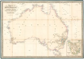
Folding map of Australia with fine colour
£980WYLD, James.
Published In 1833
Stock No. 24071 -
A rare map of the Middle East, published by Lafreri
£27,500GASTALDI, Giacomo.
Published In 1561
Stock No. 23975 -

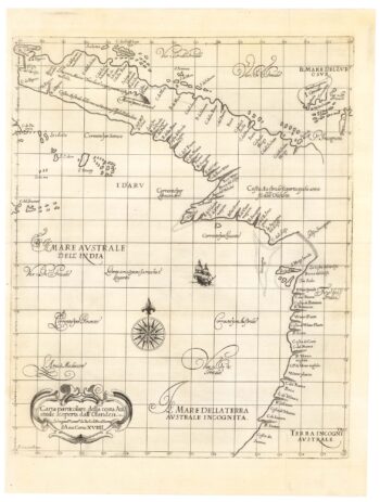
The first map of Australia by an Englishman
£8,500DUDLEY, Robert.
Published In 1646
Stock No. 23777 -

An unusual Italian map of Australia
£650MARMOCCHI, Francesco C.
Published In 1858
Stock No. 23588 -

A mid-19th century map of Victoria marking the gold fields
£150TALLIS, John.
Published In 1851
Stock No. 23543