Showing 1–12 of 84 results
-

An early woodcut map of England
£1,000MUNSTER, Sebastian.
Published In 1572
Stock No. 24564 -

A 16th century woodcut prospect of Rome
£400MUNSTER, Sebastian.
Published In 1572
Stock No. 24577 -

A 16th century woodcut map of Classical Rome
£220MUNSTER, Sebastian.
Published In 1572
Stock No. 24572 -

A 16th century town plan of classical Rome
£140VALEGIO, Francesco.
Published In 1598
Stock No. 24195 -

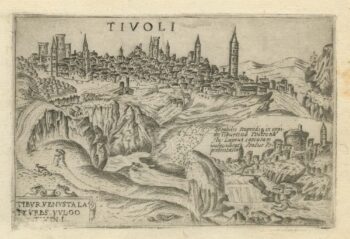
A 16th century town plan of Tivoli
£140VALEGIO, Francesco.
Published In 1598
Stock No. 24192 -

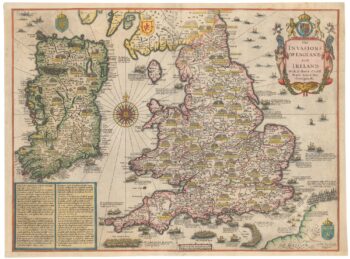
Vrients’s scarce map of England, Wales & Ireland
£4,250VRIENTS, Jan Baptist.
Published In 1612
Stock No. 20271 -

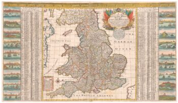
A scarce two-sheet map of England and Wales with side panels
£3,000WILLDEY, George.
Published In 1715
Stock No. 24165 -

One of the largest printed prospects of Rome
£15,000VASI, Giuseppe.
Published In 1765
Stock No. 24364 -

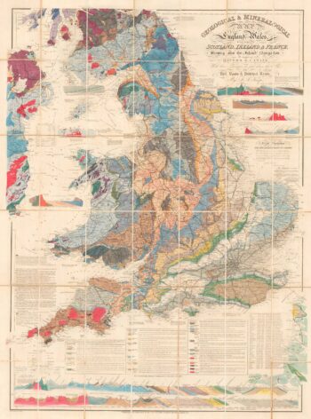
A detailed geological map of England and Wales
£1,500KNIPE, James Alexander.
Published In 1870
Stock No. 23418 -

Speed’s map of the wars of England
£1,800SPEED, John.
Published In 1665
Stock No. 23791 -

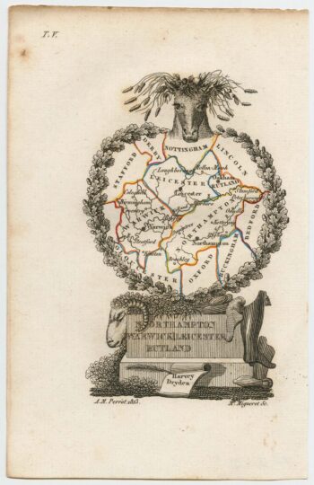
Miniature map of the East Midlands
£60PERROT, Aristide Michel.
Published In 1828
Stock No. 23304 -

England divided into the Saxon Heptarchy
£380SEUTTER, Matthaus.
Published In 1740
Stock No. 22311