Showing 1–12 of 114 results
-

Victorian map of China with views of Hong Kong and Canton
£250TALLIS, John.
Published In 1851
Stock No. 23537 -

A pictorial map of Beijing in the 1930s
£3,000DORN, Frank.
Published In 1936
Stock No. 24392 -

The map of China from the first English atlas of the world
£3,700SPEED, John.
Published In 1665
Stock No. 23978 -

19th century Spanish sea chart of the Yellow Sea and Korea
£2,200BRYANT, Tomas.
Published In 1866
Stock No. 12450 -

A 19th century American sea chart of Hong Kong
£3,500BREWER, H.G.
Published In 1916
Stock No. 23973 -

A detailed map of Victoria in the 1930s
£4,500WAR OFFICE.
Published In 1930
Stock No. 23458 -

A very scarce Italian playing card of South America
£450Anonymous.
Published In 1790
Stock No. 24230 -

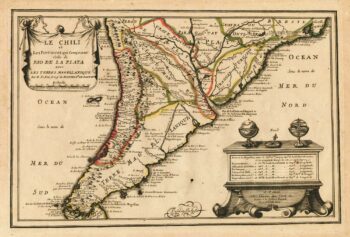
Map of Southern South America
£220FER, Nicolas de.
Published In 1702
Stock No. 23712 -

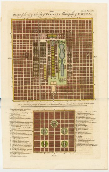
18th century town plan of Peking
£450HARRIS, John.
Published In 1748
Stock No. 23674 -
A 16th century Italian plan of Hangzhou
£650VALEGIO, Francesco.
Published In 1598
Stock No. 24153 -

A 16th century Italian plan of Cusco
£380VALEGIO, Francesco.
Published In 1598
Stock No. 24137 -

One of the most detailed maps of the Gal?pagos before Darwin
£700VANDERMAELEN, Philippe.
Published In 1827
Stock No. 23920