Showing 73–84 of 103 results
-

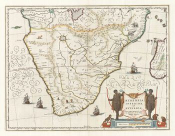
17th century map of Southern Africa
£765BLAEU, Willem Janszoon.
Published In 1665
Stock No. 17998 -

Urban planning in Erith during the Age of the Railway
£600Anonymous.
Published In 1873
Stock No. 16089 -

Map of the Orange Free State published the day before the start of the Second Boer War
£375STANFORD, Edward.
Published In 1899
Stock No. 15864 -

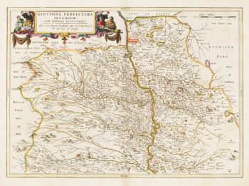
18th century map of Bohemia
£150SEUTTER, Matthaus.
Published In 1760
Stock No. 14746 -

Map of Lower Clydesdale & the environs of Glasgow from the first atlas of Scotland
£380PONT, Timothy.
Published In 1654
Stock No. 14625 -
Map of Renfrewshire from the first atlas of Scotland
£350PONT, Timothy.
Published In 1662
Stock No. 14624 -

17th century map of Middlesex & Hertfordshire
£850JANSSON, Jan.
Published In 1710
Stock No. 14617 -

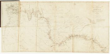
Contemporary map of Livingstone’s landmark crossing of Africa
£500ARROWSMITH, John.
Published In 1857
Stock No. 14493 -

Map of Middlesex and Hertfordshire from Drayton’s fantastical ‘Poly-Olbion’
£400DRAYTON, Michael.
Published In 1612
Stock No. 14043 -

Large map of West Africa published at the end of the 18th century
£300DELISLE, Guillaume.
Published In 1798
Stock No. 14029 -

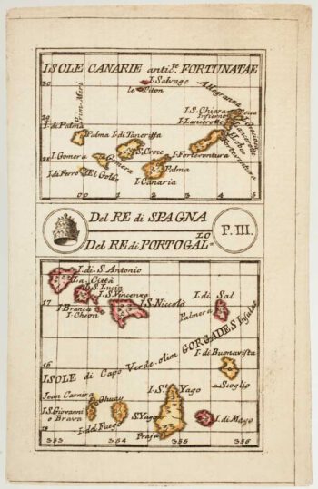
An 18th century playing-card map of the Canaries and Cape Verde Islands
£350RABATTA, Augusto & BAILOU, Jean Baptist de.
Published In 1779
Stock No. 13004 -

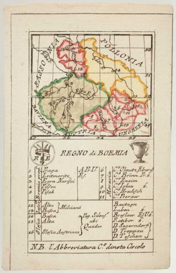
An 18th century playing-card map of Bohemia
£180RABATTA, Augusto & BAILOU, Jean Baptist de.
Published In 1779
Stock No. 12993