Showing 25–36 of 71 results
-

16th century map of Luxembourg
£500ORTELIUS, Abraham.
Published In 1592
Stock No. 20316 -

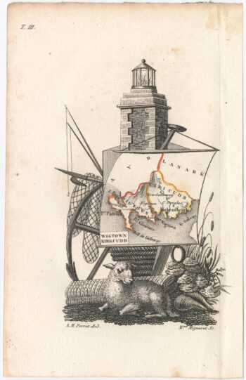
Miniature map of Wigtown and Kirkcudbrightshire
£90PERROT, Aristide Michel.
Published In 1828
Stock No. 23117 -

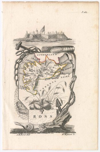
Miniature map of Rossshire
£95PERROT, Aristide Michel.
Published In 1828
Stock No. 23115 -

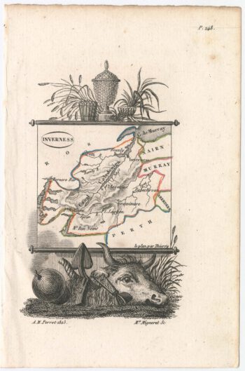
Miniature map of Invernessshire
£95PERROT, Aristide Michel.
Published In 1828
Stock No. 23114 -

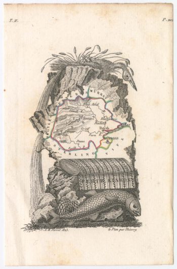
Miniature map of Perthshire and Kinross
£90PERROT, Aristide Michel.
Published In 1828
Stock No. 23111 -

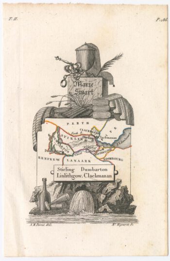
Miniature map of Stirlingshireshire
£90PERROT, Aristide Michel.
Published In 1828
Stock No. 23110 -

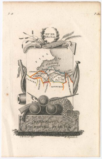
Miniature map of Edinburgh, Haddington and Berwick.
£100PERROT, Aristide Michel.
Published In 1828
Stock No. 23109 -

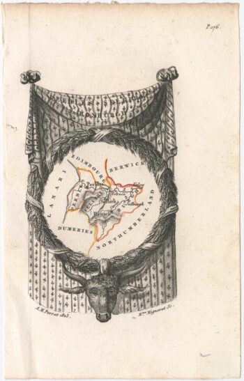
Miniature map of Peebles
£90PERROT, Aristide Michel.
Published In 1828
Stock No. 23108 -

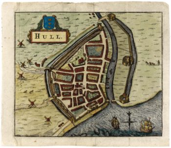
A 17th century townplan of Hull
£150HERMANNIDES, Rutger.
Published In 1661
Stock No. 22767 -

A classic 17th century Dutch map of Middlesex
£550BLAEU, Johannes.
Published In 1658
Stock No. 22701 -

A two-sheet map of Lanarkshire in fine original colour
£2,000FORREST, William.
Published In 1818
Stock No. 22668 -

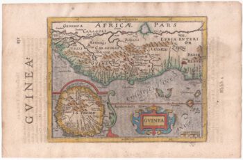
Guinea from the first English Edition of the ‘Atlas Minor’
£160HONDIUS, Jodocus.
Published In 1635
Stock No. 22454