Showing 349–358 of 358 results
-

17th century English map of Lincolnshire
£800SPEED, John.
Published In 1676
Stock No. 9869 -

Chester
£50VALEGIO, Francesco & ROSACCIO, Guiseppe.
Published In 1713
Stock No. 9797 -

The so-called ‘Anonymous’ map of Surrey
£2,000SMITH, William.
Published In 1665
Stock No. 9177 -
The roads from Warrington to Chester and Manchester to Derby
£250OGILBY, John.
Published In 1675
Stock No. 9075 -

Fine plan of the naval dockyard at Sheerness, Kent
£600MILTON, Thomas.
Published In 1755
Stock No. 8492 -

A two-sheet map of Ireland
£1,300JAILLOT, Alexis-Hubert.
Published In 1700
Stock No. 8318 -

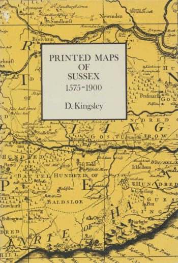
Bibliography of maps of Sussex
£25KINGSLEY, David.
Published In 1982
Stock No. 8084 -

18th century decorative map of Ireland
£260BRION DE LA TOUR, Louis.
Published In 1766
Stock No. 7547 -

17th century map of the North Riding of Yorkshire in fine colour
£650BLAEU, Johannes.
Published In 1662
Stock No. 23040 -
Blaeu’s map of Monmouthshire, with fine colour
£500BLAEU, Johannes.
Published In 1662
Stock No. 23039