Showing 205–216 of 223 results
-

Cook’s Third Voyage, with the First Map of Hawaii
£3,750COOK, James.
Published In 1785
Stock No. 10583 -

A pictorial map of the Baltic theatre of the Crimean War
£325ILLUSTRATED LONDON NEWS.
Published In 1856
Stock No. 10369 -

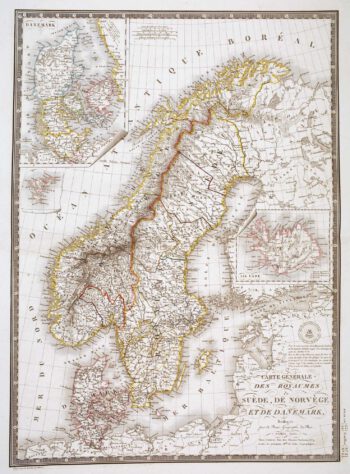
Detailed 19th century map of Scandinavia
£160BRUÉ, Adrien Hubert.
Published In 1825
Stock No. 10277 -

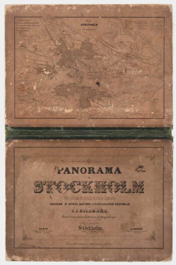
A true panorama of Stockholm
£1,200BILLMARK, C.J.
Published In 1850
Stock No. 10136 -

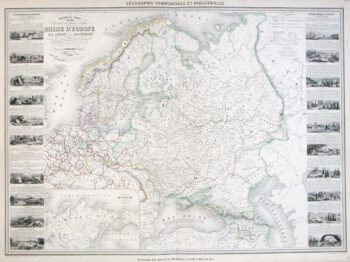
A large map of Northern Europe with vignettes
£220VUILLEMIN, Alexandre A.
Published In 1860
Stock No. 9549 -

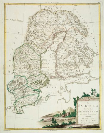
Sweden & Finland
£140ZATTA, Antonio.
Published In 1781
Stock No. 9536 -

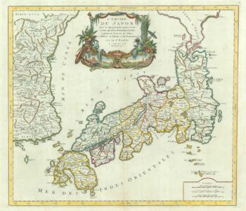
18th century map of Japan
£500SANTINI, Francesco & Paolo.
Published In 1778
Stock No. 9315 -

Plan of Toulon in the mid-19th century
£75Society for the Diffusion of Useful Knowledge.
Published In 1836
Stock No. 9047 -

Blue-Back Chart of the Bay of Biscay
£650STEEL & CO.
Published In 1813
Stock No. 9661 -

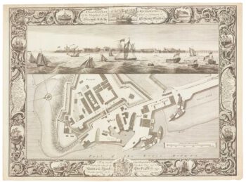
Fine plan of the naval dockyard at Sheerness, Kent
£600MILTON, Thomas.
Published In 1755
Stock No. 8492 -

Guyenne
£240JANSSON, Jan.
Published In 1666
Stock No. 8391 -

Denmark
£450JAILLOT, Alexis-Hubert.
Published In 1700
Stock No. 8323