Showing 1–12 of 14 results
-

The New Zealand gore from Coronelli’s 42 inch globe
£2,200CORONELLI, Vincenzo Maria.
Published In 1693
Stock No. 23716 -

A detailed sea chart of the environs of Waitangi in New Zealand
£1,250DUPERREY, Louis-Isidore.
Published In 1829
Stock No. 23961 -

A detailed sea chart of the environs of Manawaora in New Zealand
£1,200DUPERREY, Louis-Isidore.
Published In 1829
Stock No. 23959 -

Speed’s maps of the Channel Islands, Farne and Holy Island
£750SPEED, John.
Published In 1627
Stock No. 23822 -

Map of the Channel Islands of Jersey & Guersney
£125TALLIS, John.
Published In 1851
Stock No. 23517 -

Cook’s mapping of New Zealand
£750BONNE, Rigobert.
Published In 1778
Stock No. 19641 -

A rare set of seven globe gores of the Pacific with New Zealand
£1,500VALK, Gerard.
Published In 1707
Stock No. 23020 -

Maps of British islands from the first English Edition of the ‘Atlas Minor’
£140HONDIUS, Jodocus.
Published In 1635
Stock No. 22449 -

Unusual pair of large-format maps of New Zealand
£1,500VANDERMAELEN, Philippe.
Published In 1827
Stock No. 21699 -

An unusual early 18th century map of Central Asia
£420DEGLER, Johannes.
Published In 1700
Stock No. 21509 -

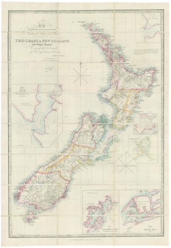
Large and detailed 19th century map of New Zealand
£1,800WYLD, James.
Published In 1890
Stock No. 22024 -

The first map of the Thames River in New Zealand
£400COOK, James.
Published In 1773
Stock No. 21095