Showing 1–12 of 32 results
-

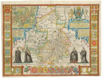
A rare issue of Speed’s map of Cambridgeshire
£2,200SPEED, John.
Published In 1665
Stock No. 24020 -

An early 19th century circular map of the environs of Cambridge
£400RICHARDSON, J.
Published In 1828
Stock No. 23649 -

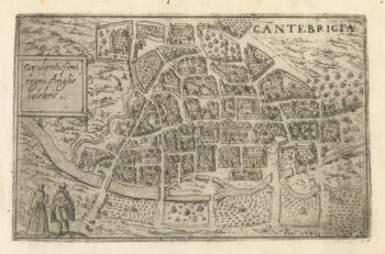
A 16th century Italian plan of Cambridge
£500VALEGIO, Francesco.
Published In 1598
Stock No. 24132 -

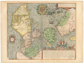
A superb 16th century map of Denmark
£2,000JORDAN, Mark.
Published In 1588
Stock No. 23838 -

A 17th century old map of the Gulf of Guinea in West Africa
£500JANSSON, Jan.
Published In 1680
Stock No. 23630 -

Du Val’s folio map of the slave forts of the Gulf of Guinea
£480DU VAL, Pierre.
Published In 1671
Stock No. 23256 -
A separately-issued map of Denmark, the earliest dated map by de Wit
£750DE WIT, Frederick.
Published In 1659
Stock No. 23255 -

Miniature map of Hertfordshire, Bedfordshire and Cambridgeshire
£75PERROT, Aristide Michel.
Published In 1828
Stock No. 23136 -

A 17th century townplan of Cambridge
£350HERMANNIDES, Rutger.
Published In 1661
Stock No. 22774 -

An early 19th century map of Denmark in fine colour
£160LAURIE & WHITTLE.
Published In 1801
Stock No. 22819 -

Guinea from the first English Edition of the ‘Atlas Minor’
£160HONDIUS, Jodocus.
Published In 1635
Stock No. 22454 -

West Africa with the infamous ‘Mountains of Kong’
£110NEELE & SON.
Published In 1822
Stock No. 22432